Near Lanett in Chambers County, Alabama — The American South (East South Central)
Providence Baptist Church
Chambers County, Alabama
Side 1
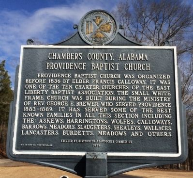
Providence Baptist Church was organized before 1836 by Elder Francis Calloway. It was one of the ten charter churches of the East Liberty Baptist Association. The small white frame church was built during the ministry of Reverend George E. Brewer, who served Providence 1883-1889. It has served some of the best known families in all this section including the: Askews, Harringtons, Wolfes, Calloways, Barrows, Meadors, Slaughters, Shealeys, Wallaces, Lancasters, Burdetts, Meadows, and others.
Side 2
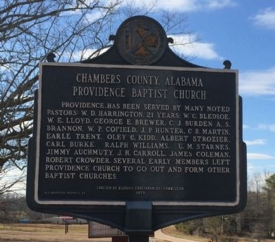
Providence has been served by many noted pastors: W.D. Harrington, 21 years; W.C. Bledsoe, W.E. Lloyd, George E. Brewer, C.J. Burden, A.S. Brannon, W.P. Cofield, J.P. Hunter, C.B. Martin, Earle Trent, Oley C. Kidd, Albert Strozier, Carl Burke, Ralph Williams, U.M. Starnes, Jimmy Auchmuty, J.H. Carroll, James Coleman, Robert Crowder. Several early members left Providence Church to go out and form other Baptist churches.
Erected 1979 by the Historic Chattahoochee Commission.
Topics. This historical marker is listed in this topic list: Churches & Religion. A significant historical year for this entry is 1836.
Location. 32° 52.65′ N, 85° 16.03′ W. Marker is near Lanett, Alabama, in Chambers County. Marker is on Country Club Road, 1.6 miles west of County Road 210, on the left when traveling west. Touch for map. Marker is at or near this postal address: 6243 Country Club Road, Lanett AL 36863, United States of America. Touch for directions.
Other nearby markers. At least 8 other markers are within 5 miles of this marker, measured as the crow flies. Lanier High School (approx. 3.9 miles away); New Hope Rosenwald School (approx. 4.7 miles away); Fort Tyler (approx. 4.7 miles away in Georgia); a different marker also named Fort Tyler (approx. 4.7 miles away in Georgia); More Enduring Than Marble (approx. 4.7 miles away in Georgia); Battle of West Point (approx. 4.9 miles away in Georgia); Ocfuskooche Tallauhassee (approx. 4.9 miles away); "Daughters of the Confederacy" (approx. 5 miles away in Georgia).
Credits. This page was last revised on June 16, 2016. It was originally submitted on February 8, 2014, by Mark Hilton of Montgomery, Alabama. This page has been viewed 952 times since then and 59 times this year. Last updated on May 15, 2015, by J. Makali Bruton of Accra, Ghana. Photos: 1, 2, 3, 4. submitted on February 8, 2014, by Mark Hilton of Montgomery, Alabama. • Bill Pfingsten was the editor who published this page.


