Monterey in Monterey County, California — The American West (Pacific Coastal)
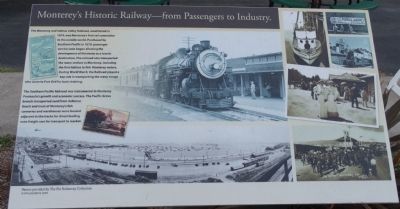
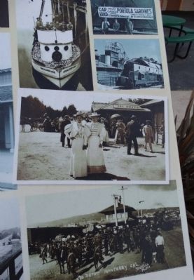
Monterey's Historic Railway -- from Passengers to Industry
Inscription.
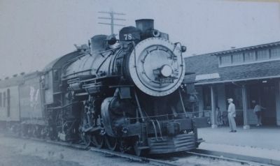
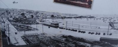
The Monterey and Salinas Valley Railroad, established in 1874, was Monterey's first rail connection to the outside world. Purchased by Southern Pacific in 1879, passenger service soon began allowing the development of Monterey as a tourist destination. The railroad also transported the many settlers to Monterey, including the first Italians to fish Monterey waters. During World War II, the Railroad played a key role in transporting the many troops who came to Fort Ord for basic training.
The Southern Pacific Railroad was instrumental in Monterey Peninsula's growth and economic success. The Pacific Grove branch transported sand from Asilomar Beach and most of Monterey's fish canneries and warehouses were located adjacent to the tracks for direct loading onto freight cars for transport to market.
Photos provided by The Pat Hathaway Collection www.caviews.com
Topics. This historical marker is listed in this topic list: Railroads & Streetcars. A significant historical year for this entry is 1874.
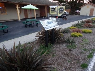
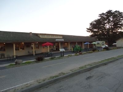
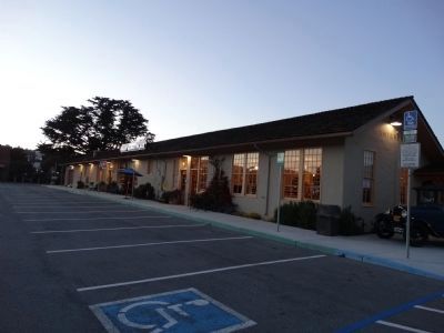
Location. 36° 36.069′ N, 121° 53.472′ W. Marker is in Monterey, California, in Monterey County. Marker is on Figueroa Street, on the right when traveling south. Located as the The Wharf Marketplace. Touch for map. Marker is at or near this postal address: 290 Figueroa Street, Monterey CA 93940, United States of America. Touch for directions.
Other nearby markers. At least 8 other markers are within walking distance of this marker. Local Railway Led the Way to America's Salad Bowl. (a few steps from this marker); Monterey's Commercial Fishing Fleet (about 300 feet away, measured in a direct line); Monterey and Salinas Valley Railroad (about 400 feet away); Monterey Harbor (about 800 feet away); Captain Don Gaspar de Portola (approx. 0.2 miles away); Monterey Customhouse (approx. 0.2 miles away); Custom House (approx. 0.2 miles away); Rodriguez – Osio Adobe (approx. 0.2 miles away). Touch for a list and map of all markers in Monterey.
Credits. This page was last revised on June 16, 2016. It was originally submitted on May 16, 2015, by Denise Boose of Tehachapi, California. This page has been viewed 521 times since then and 33 times this year. Photos: 1, 2, 3, 4, 5, 6, 7. submitted on May 16, 2015, by Denise Boose of Tehachapi, California. • Andrew Ruppenstein was the editor who published this page.
