Montezuma in Cayuga County, New York — The American Northeast (Mid-Atlantic)
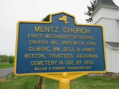
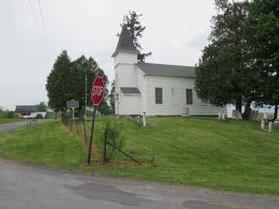
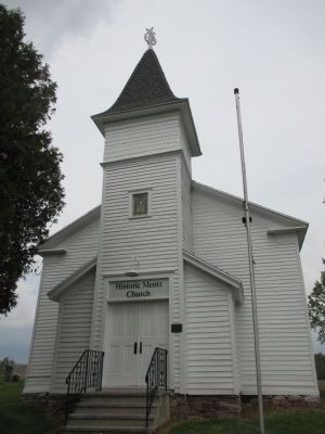
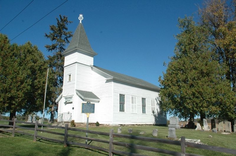
Mentz Church
First Methodist Episcopal
Church Inc. 1825 with John
Gilmore, Wm. Bell & James
Weston, Trustees. Adjoining
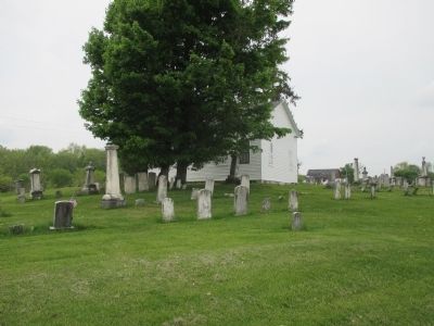
cemetery in use by 1813.
Erected 2012 by William G. Pomeroy Foundation.
Topics and series. This historical marker is listed in this topic list: Churches & Religion. In addition, it is included in the William G. Pomeroy Foundation series list. A significant historical year for this entry is 1825.
Location. 42° 59.749′ N, 76° 40.647′ W. Marker is in Montezuma, New York, in Cayuga County. Marker is at the intersection of McDonald Road (County Route 114A) and Mentz Church Road (County Route 115), on the left when traveling east on McDonald Road. Touch for map. Marker is in this post office area: Montezuma NY 13117, United States of America. Touch for directions.
Other nearby markers. At least 8 other markers are within 2 miles of this marker, measured as the crow flies. Prospect Hill (approx. 0.8 miles away); Montezuma (approx. 1.6 miles away); Salt Springs (approx. 1.6 miles away); Old Erie Canal (approx. 1.6 miles away); Early Cemetery (approx. 1.7 miles away); Opened in 1828 (approx. 1.7 miles away); Montezuma Heritage Park (approx. 1.7 miles away); A Landmark and Pride in Our Community (approx. 1.7 miles away). Touch for a list and map of all markers in Montezuma.
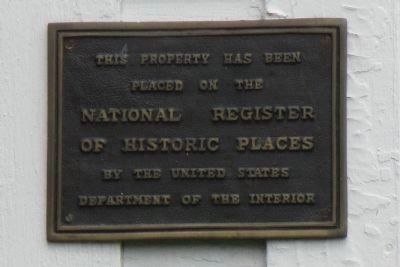
Also see . . . Mentz Church - National Archives. National Register of Historic Places documentation (Submitted on October 26, 2023, by Anton Schwarzmueller of Wilson, New York.)
Credits. This page was last revised on October 26, 2023. It was originally submitted on May 21, 2015, by Anton Schwarzmueller of Wilson, New York. This page has been viewed 390 times since then and 18 times this year. Photos: 1, 2, 3, 4, 5, 6, 7. submitted on May 21, 2015, by Anton Schwarzmueller of Wilson, New York. 8. submitted on November 16, 2019, by Howard C. Ohlhous of Duanesburg, New York.
