Maysville in Mason County, Kentucky — The American South (East South Central)
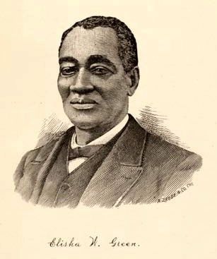
Elisha Green
Religious Leader
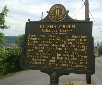
Side 1
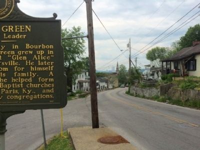
Born into slavery in Bourbon County, Elisha Green grew up in Mason County at "Glen Alice" farm outside Maysville. He later purchased freedom for himself and part of his family. A spiritual leader, he helped form African American Baptist churches in Maysville and Paris, Ky., and preached to many congregations.
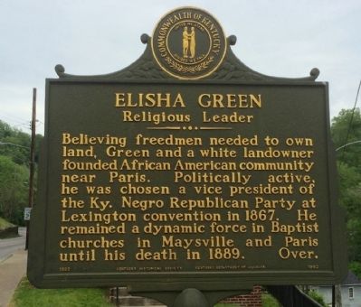
Side 2
Believing freedmen needed to own land, Green and a white landowner founded African American community near Paris. Politically active, he was chosen a vice president of the Ky. Negro Republican Party at Lexington convention in 1867. He remained a dynamic force in Baptist churches in Maysville and Paris until his death in 1889. Over.
Erected 1995 by the Kentucky Historical Society, Kentucky Department of Highways. (Marker Number 1962.)
Topics and series. This historical marker is listed in these topic lists: African Americans • Churches & Religion • Government & Politics. In addition, it is included in the Kentucky Historical Society series list. A significant historical year for this entry is 1867.
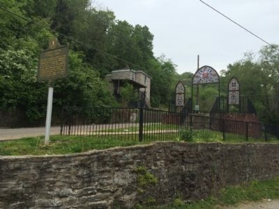
Location. 38° 38.81′ N, 83° 46.115′ W. Marker is in Maysville, Kentucky, in Mason County. Marker is at the intersection of West 4th Street (Kentucky Route 2516) and Maddox Alley, on the right when traveling west on West 4th Street. Touch for map. Marker is at or near this postal address: 110 West 4th Street, Maysville KY 41056, United States of America. Touch for directions.
Other nearby markers. At least 8 other markers are within walking distance of this marker. Maysville Academy (within shouting distance of this marker); Phillips' Folly (about 600 feet away, measured in a direct line); Limestone (about 600 feet away); Kentucky Historian (about 600 feet away); Stanley Forman Reed (about 600 feet away); Lafayette's Tour (about 700 feet away); Alanant-O-Wamiowee (approx. 0.2 miles away); Shackleford Residence (approx. 0.2 miles away). Touch for a list and map of all markers in Maysville.
Also see . . .
1. Wikipedia article on Elisha Green. (Submitted on May 23, 2015, by Mark Hilton of Montgomery, Alabama.)
2. Summary of Life of Elisha Green by the UNC. (Submitted on May 23, 2015, by Mark Hilton of Montgomery, Alabama.)
Credits. This page was last revised on June 16, 2016. It was originally submitted on May 23, 2015, by Mark Hilton of Montgomery, Alabama. This page has been viewed 460 times since then and 24 times this year. Photos: 1, 2, 3, 4, 5. submitted on May 23, 2015, by Mark Hilton of Montgomery, Alabama.
