Near Kernville in Tulare County, California — The American West (Pacific Coastal)
Roads End
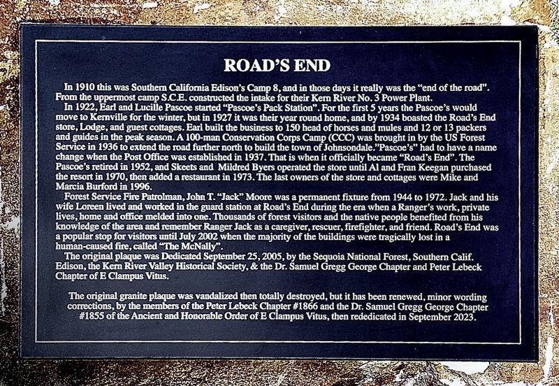
In 1922, Earl and Lucille Pascoe started "Pascoe's Pack Station". For the first 5 years the Pascoe's would move to Kernville for the winter, but in 1927 it was their year round home, and by 1934 boasted the Road's End store, Lodge, and guest cottages. Earl built the business to 150 head of horses and mules and 12 or 13 packers and guides in the peak season. A 100-man Conservation Corps Camp (CCC) was brought in by the US Forest Service in 1936 to extend the road further north to build the town of Johnsondale."Pascoe's" had to have a name change when the Post Office was established in 1937. That is when it officially became "Road's End". The Pascoe's retired in 1952, and Skeets and Mildred Byers operated the store until Al and Fran Keegan purchased the resort in 1970, then added a restaurant in 1973. The last owners of the store and cottages were Mike and Marcia Burford in 1996.
Forest Service Fire Patrolman, John T. "Jack" Moore was a permanent fixture from 1944 to 1972. Jack and his wife Loreen lived and worked in the guard station at Road's End during the era when a Ranger's work, private lives, home and office melded into one. Thousands of forest visitors and the native people benefited from his knowledge of the area and remember Ranger Jack as a caregiver, rescuer, firefighter, and friend. Road's End was a popular stop for visitors until July 2002 when the majority of the buildings were tragically lost in a human-caused fire, called "The McNally".
The original plaque was Dedicated September 25, 2005, by the Sequoia National Forest, Southern Calif. Edison, the Kern River Valley Historical Society, & the Dr. Samuel Gregg George Chapter and Peter Lebeck Chapter of E Clampus Vitus.
The original granite plaque was vandalized then totally destroyed, but it has been renewed, minor wording corrections, by the members of the Peter Lebeck Chapter #1866 and the Dr. Samuel Gregg George Chapter # 1855 of the Ancient and Honorable Order of E Clampus Vitus, then rededicated in September 2023.
(original marker inscription:)
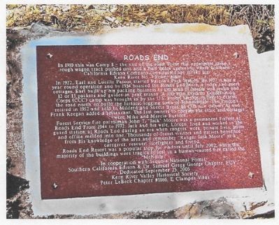
In 1910 this was Camp 8 – the end of the road. From this uppermost camp a rough wagon track pushed one and one half miles up the river to where Southern California Edison Company constructed the intake for Kern River No. 3 Power Plant.
In 1922, Earl and Lucille Pascoe started Pascoe’s Pack Station. By 1927 it was a year round operation and by 1934 boasted the Roads End Store, a lodge and guest cottages. Earl built up his packing business to 150 head of horses and mules and 12 or 13 packers and guides in the peak season. A 100 man Conservation Corps (CCC) Camp was brought in by the U. S. Forest Service in 1936 to extend the road north, to build the historic town of Johnsondale. The Pascoe’s retired in 1952 and sold to Mildred and Skeets Byers. In 1973 new owners Al & Frank Keegan added a restaurant. The last owners to operate the store and cottages were Mike and Marcia Burford.
Forest Service Fire Patrolman John T. “Jack” Moore was a permanent fixture from 1944 to 1972. Jack and his wife, Loreen, lived and worked in the Guard Station at Roads End during an era when Rangers work, private lives, home and office melded into one. Thousands of forest visitors and natives benefited from his knowledge of the area and remember Ranger Jack Moore as a caregiver, rescuer, fire fighter and friend.
Roads End Resort was a popular stop for visitors until July 2002 when the majority of the buildings were tragically lost in a human caused fire called The McNally.
Erected 2005 by Sequoia National Forest, So. Cal. Edison, Kern River Valley Hist. Soc., Peter LeBeck Chapter 1866 and Samuel Gregg George Chapter E Clampus Vitus.
Topics and series. This historical marker is listed in these topic lists: Industry & Commerce • Notable Places. In addition, it is included in the E Clampus Vitus series list. A significant historical year for this entry is 1910.
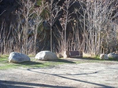
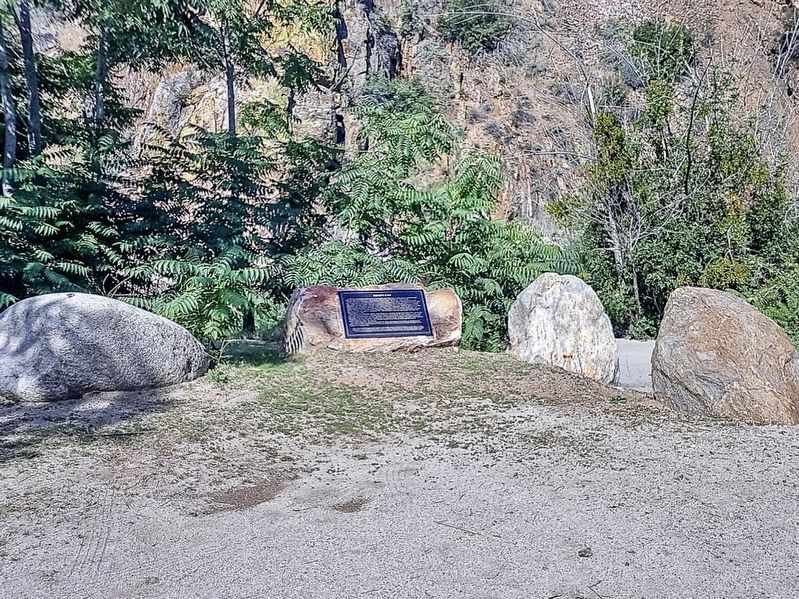
Location. 35° 56.106′ N, 118° 29.115′ W. Marker is near Kernville, California, in Tulare County. Marker is on Mountain Highway 99, 3˝ miles south of Sherman Pass Road, on the right when traveling south. Marker is mounted on a rock in a river access parking area. Touch for map. Marker is at or near this postal address: 1941 Mountain Hwy 99, Kernville CA 93238, United States of America. Touch for directions.
Other nearby markers. At least 3 other markers are within 16 miles of this marker, measured as the crow flies. California Hot Springs (approx. 11 miles away); Bob Powers (approx. 12.9 miles away); Camp Nelson (approx. 15.9 miles away).
Also see . . . A Photo Display of the Roads End Resort. Pictures of the resort before and after the fire. (Submitted on May 29, 2015.)
Additional commentary.
1. Marker
The original marker was smashed into about 40 pieces. Facebook member Michael Gardner Jr recontructed it and found that 2 or 3 pieces were missing. Here is his Facebook post showing the damaged marker.
https://www.facebook.com/photo.php?fbid=939330729464872&set=p.939330729464872&type=1&theater
Here is how he found the marker before piecing it back together
https://www.facebook.com/photo.php?fbid=10206038816781942&set=gm.10153038902416080&type=1&theater
Actions are being taken to have the Peter Lebeck and Dr Samuel Gregg George chapters of E Clampus Vitus replace the damaged marker.
— Submitted August 25, 2015, by Lester J Letson of Fresno, California.
Credits. This page was last revised on October 17, 2023. It was originally submitted on May 29, 2015, by Alan Price or Jayne Hotchkiss-Price of Caliente, California. This page has been viewed 918 times since then and 86 times this year. Last updated on April 23, 2022, by Ronald D. (Ron) Trigueiro of Fresno, California. Photos: 1. submitted on October 17, 2023, by Craig Baker of Sylmar, California. 2, 3. submitted on May 29, 2015, by Alan Price or Jayne Hotchkiss-Price of Caliente, California. 4. submitted on October 17, 2023, by Craig Baker of Sylmar, California. • J. Makali Bruton was the editor who published this page.


