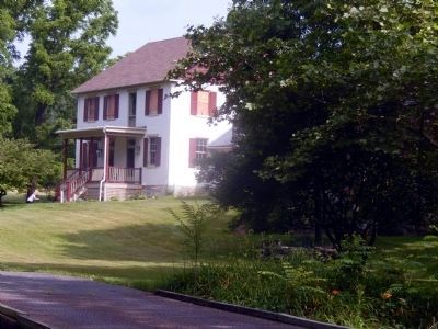
Conoy Township near Bainbridge in Lancaster County, Pennsylvania — The American Northeast (Mid-Atlantic)
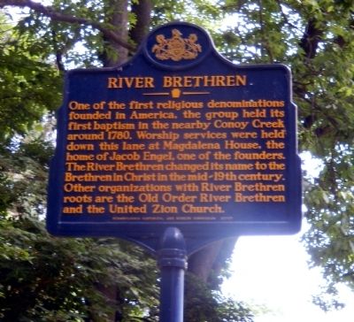
River Brethren
Erected 2012 by Pennsylvania Historical & Museum Commission.
Topics and series. This historical marker is listed in this topic list: Churches & Religion. In addition, it is included in the Pennsylvania Historical and Museum Commission series list. A significant historical year for this entry is 1780.
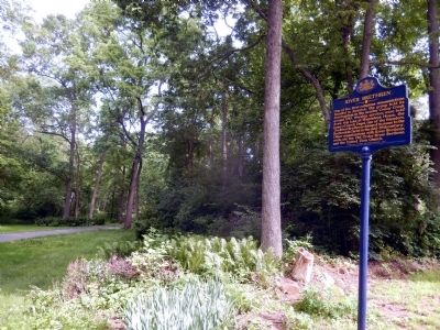
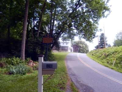
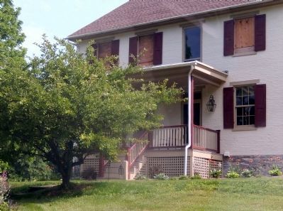
Location. 40° 5.6′ N, 76° 38.342′ W. Marker is near Bainbridge, Pennsylvania, in Lancaster County. It is in Conoy Township. Marker is on Sagerville Road. Touch for map. Marker is at or near this postal address: 1240 Sagerville Road, Bainbridge PA 17502, United States of America. Touch for directions.
Other nearby markers. At least 8 other markers are within 3 miles of this marker, measured as the crow flies. Conoy Indian Town (approx. 1.2 miles away); Samuel S. Haldeman (approx. 1.3 miles away); In Memory of the Conoy or Ganowese Indians (approx. 1.4 miles away); Bainbridge (approx. 1.4 miles away); On this site stood (approx. 1.6 miles away); Dedicated to the Men and Women of Conoy Township (approx. 1.6 miles away); Rededicated November 11, 1967 (approx. 1.6 miles away); Hunting on the Atlantic Flyway (approx. 2.8 miles away). Touch for a list and map of all markers in Bainbridge.
Credits. This page was last revised on February 7, 2023. It was originally submitted on June 16, 2015, by Don Morfe of Baltimore, Maryland. This page has been viewed 933 times since then and 73 times this year. Photos: 1, 2, 3, 4, 5. submitted on June 16, 2015, by Don Morfe of Baltimore, Maryland. • Bill Pfingsten was the editor who published this page.
