Georgetown in Scott County, Kentucky — The American South (East South Central)
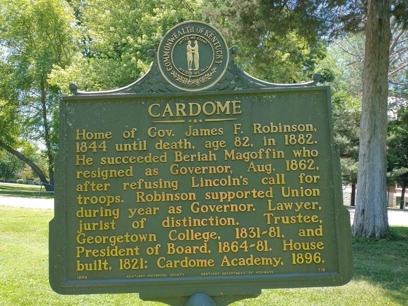
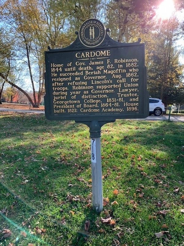
Cardome
Erected 1964 by Kentucky Historical Society, Kentucky Department of Highways. (Marker Number 718.)
Topics and series. This historical marker is listed in these topic lists: Education • Government & Politics. In addition, it is included in the Kentucky Historical Society series list. A significant historical year for this entry is 1844.
Location. 38° 13.365′ N, 84° 33.981′ W. Marker is in Georgetown, Kentucky, in Scott County. Marker is on Cardome Center South, 0.2 miles east of Cincinnati Pike (U.S. 25). Touch for map. Marker is in this post office area: Georgetown KY 40324, United States of America. Touch for directions.
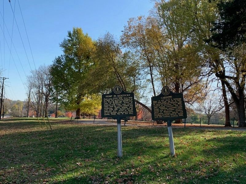
Other nearby markers. At least 8 other markers are within walking distance of this marker. Hemp in Scott County / Hemp in Kentucky (here, next to this marker); First Baptist Church (approx. ¾ mile away); Payne-Desha House / Joseph Desha (1768-1842) (approx. ¾ mile away); Scott County Jail / Scott County Jailer's House (approx. 0.9 miles away); Birthplace of Bourbon (approx. 0.9 miles away); Royal Spring (approx. 0.9 miles away); Scott County Korean & Vietnam Conflict's Memorial (approx. 0.9 miles away); Scott County Courthouse / Goebel Trial Here (approx. 0.9 miles away). Touch for a list and map of all markers in Georgetown.
Credits. This page was last revised on June 12, 2022. It was originally submitted on June 29, 2015, by Dave Knoch of Scott County, Kentucky. This page has been viewed 491 times since then and 26 times this year. Photos: 1. submitted on June 5, 2022, by Craig Doda of Napoleon, Ohio. 2. submitted on November 6, 2020, by Frank Profitt of Georgetown, Kentucky. 3. submitted on June 5, 2022, by Craig Doda of Napoleon, Ohio. 4. submitted on June 29, 2015, by Dave Knoch of Scott County, Kentucky. 5. submitted on November 6, 2020, by Frank Profitt of Georgetown, Kentucky. • Bill Pfingsten was the editor who published this page.
