West Of Westland in Albuquerque in Bernalillo County, New Mexico — The American Mountains (Southwest)
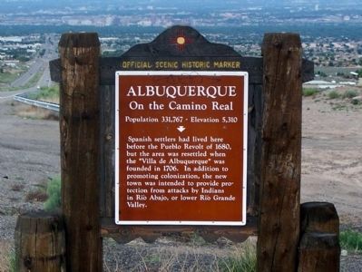
Albuquerque
On the Camino Real
— Population 331,767 ~ Elevation 5,310 —
Spanish settlers had lived here before the Pueblo Revolt of 1680, but the area was resettled when the "Villa de Albuquerque" was founded in 1706. In addition to promoting colonization, the new town was intended to provide protection from attacks by Indians in Rio Abajo, or lower Rio Grande Valley.
Erected by New Mexico Historic Preservation Division.
Topics and series. This historical marker is listed in this topic list: Settlements & Settlers. In addition, it is included in the El Camino Real de Tierra Adentro series list. A significant historical year for this entry is 1680.
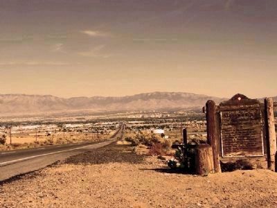
Location. Marker has been reported missing. It was located near 35° 3.922′ N, 106° 46.449′ W. Marker was in Albuquerque, New Mexico, in Bernalillo County. It was in West Of Westland. Marker was on Central Avenue (U.S. 66) 0.7 miles east of Paseo Del Volcan Road SW, on the right when traveling east. Touch for map. Marker was in this post office area: Albuquerque NM 87121, United States of America. Touch for directions.
Other nearby markers. At least 8 other markers are within 6 miles of this location, measured as the crow flies. Rio Grande Heritage Farm (approx. 5˝ miles away); The Healers Garden (approx. 5˝ miles away); Hedges Farm (approx. 5.6 miles away); The Vineyard (approx. 5.6 miles away); The Heritage Orchard (approx. 5.6 miles away); G-Scale Railroads (approx. 5.6 miles away); A Timeline of ABQ BioPark Tingley Beach (approx. 5.9 miles away); Old Armijo School (approx. 5.9 miles away). Touch for a list and map of all markers in Albuquerque.
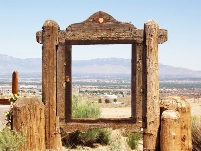
More about this marker. The dates on the two pictures indicate the decaying marker was removed sometime between April 8th and May 24, 2008.
Additional keywords. Route 66
Credits. This page was last revised on February 2, 2023. It was originally submitted on June 23, 2008, by Richard L Farmer of Albuquerque, New Mexico. This page has been viewed 2,173 times since then and 85 times this year. Photos: 1, 2. submitted on July 4, 2015, by David J Gaines of Pinson, Alabama. 3, 4. submitted on June 23, 2008, by Richard L Farmer of Albuquerque, New Mexico. • Kevin W. was the editor who published this page.


