Shell in Big Horn County, Wyoming — The American West (Mountains)
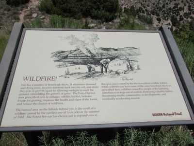
Wildfire!
Fire has a number of beneficial effects. It eliminates diseased and dying trees, recycles nutrients back into the soil, and starts the cycle of growth again by allowing sunlight to reach the ground, stimulating the growth of grass. The Forest Service uses prescribed fires to enhance wildlife habitat, increase forage for grazing, improve the health and vigor of the forest, and reduce the chance of wildfires.
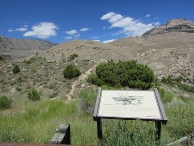
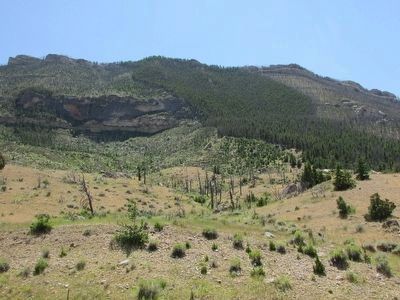
The burned area on the hillside behind you is the result of a wildfire caused by the careless use of fireworks in the summer of 1984. The Forest Service has chosen not to replant trees as the open area created by the fire is excellent wildlife habitat. While wildfires can have some of the same beneficial effects as prescribed fires, wildfires caused by people or by lightning sometimes can rage out of control, destroying valuable timber, threatening nearby communities or developments, and eventually accelerating erosion.
Erected by Bighorn National Forest.
Topics. This historical marker is listed in this topic list: Horticulture & Forestry. A significant historical year for this entry is 1984.
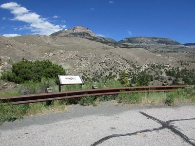
Location. 44° 35.174′ N, 107° 38.627′ W. Marker is in Shell, Wyoming, in Big Horn County. Marker is on U.S. 14, on the right when traveling west. Marker is located in Bighorn National Forest. Touch for map. Marker is in this post office area: Shell WY 82441, United States of America. Touch for directions.
Other nearby markers. At least 8 other markers are within 2 miles of this marker, measured as the crow flies. Bighorn Basin – Its History (approx. half a mile away); Carving a Course (approx. 1.4 miles away); Lifeblood of the West (approx. 1.4 miles away); Oasis in the Desert (approx. 1.4 miles away); Hummingbirds (approx. 1.4 miles away); Shaping a Canyon (approx. 1.4 miles away); Forming Waterfalls (approx. 1.4 miles away); A 4,000 Mile Journey (approx. 1.4 miles away). Touch for a list and map of all markers in Shell.
More about this marker. A picture of fire fighters battling a wildfire appears at the top of the marker.
Credits. This page was last revised on June 16, 2016. It was originally submitted on September 4, 2015, by Bill Coughlin of Woodland Park, New Jersey. This page has been viewed 414 times since then and 6 times this year. Photos: 1, 2, 3, 4. submitted on September 4, 2015, by Bill Coughlin of Woodland Park, New Jersey.


