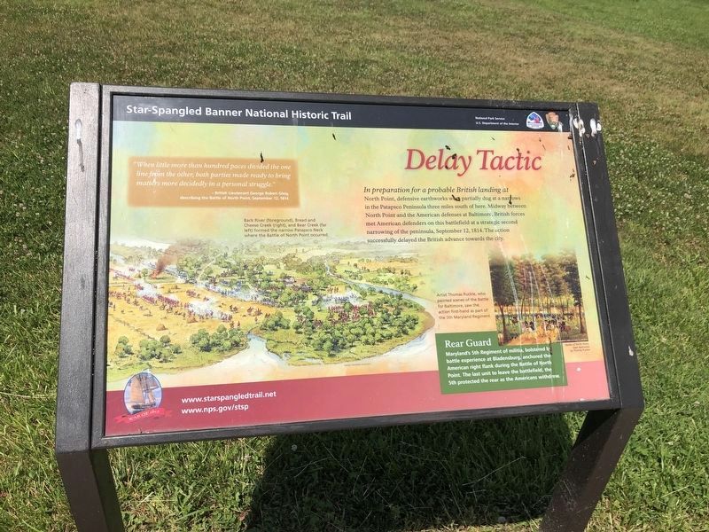
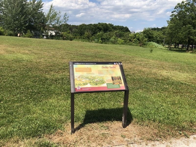
Delay Tactic
Star Spangled Banner National Historic Trail
— National Park Service, U.S. Department of the Interior —
“When little more than hundred paces divided the one line from the other, both parties made ready to bring matters in a personal struggle.”
British Lieutenant George Robert Glig describing the Battle of North Point, September 12, 1814.
Rear Guard
Maryland’s 5th Regiment of militia bolstered by battle experience at Bladensburg anchored the American right flank during the Battle of North Point. The last unit to leave the battlefield, the 5th protected the rear as the Americans withdrew.
(Inscription above the image on the left)
Back River (foreground), Bread and Cheese Creek (right), and Bear Creek (far left) formed the narrow Patapsco Neck where the Battle of North Point occurred.
(Inscription beside the image on the right)
Artist Thomas Ruckle, who painted scenes of the Battle of Baltimore, saw the action first-hand as part of the 5th Maryland Regiment.
Erected by National Park Service, U.S. Department of the Interior.
Topics and series. This memorial is listed in this topic list: War of 1812. In addition, it is included in the Star Spangled Banner National Historic Trail series list.
Location. 39° 16.768′ N, 76° 29.212′ W. Marker is in Dundalk, Maryland, in Baltimore County. Memorial is on North Point Road. The marker is located in North Point State Park Battlefield. Touch for map. Marker is in this post office area: Dundalk MD 21222, United States of America. Touch for directions.
Other nearby markers. At least 8 other markers are within walking distance of this marker. Squeeze Tactic (within shouting distance of this marker); Proud of Our Stand (within shouting distance of this marker); Witness to Battle (within shouting distance of this marker); Hitting Home (within shouting distance of this marker); To Honor the Heroes (about 400 feet away, measured in a direct line); North Point State Park - Sept. 12, 1814 Battlefield (about 500 feet away); a different marker also named Proud of Our Stand (about 500 feet away); Home of the Brave (approx. 0.2 miles away). Touch for a list and map of all markers in Dundalk.
Credits. This page was last revised on June 26, 2020. It was originally submitted on September 20, 2015, by Don Morfe of Baltimore, Maryland. This page has been viewed 460 times since then and 29 times this year. Photos: 1, 2. submitted on June 26, 2020, by Devry Becker Jones of Washington, District of Columbia. • Bill Pfingsten was the editor who published this page.

