Leland in Washington County, Mississippi — The American South (East South Central)
Corner of 10 and 61
Front
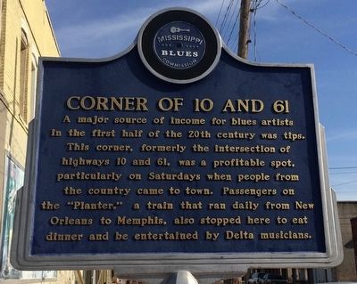
A major source of income for blues artists in the first half of the 20th century was tips. This corner, formerly the intersection of highways 10 and 61, was a profitable spot, particularly on Saturdays when people from the country came to town. Passengers on the "Planter," a train that ran daily from New Orleans to Memphis, also stopped here to eat dinner and be entertained by Delta musicians.
Rear
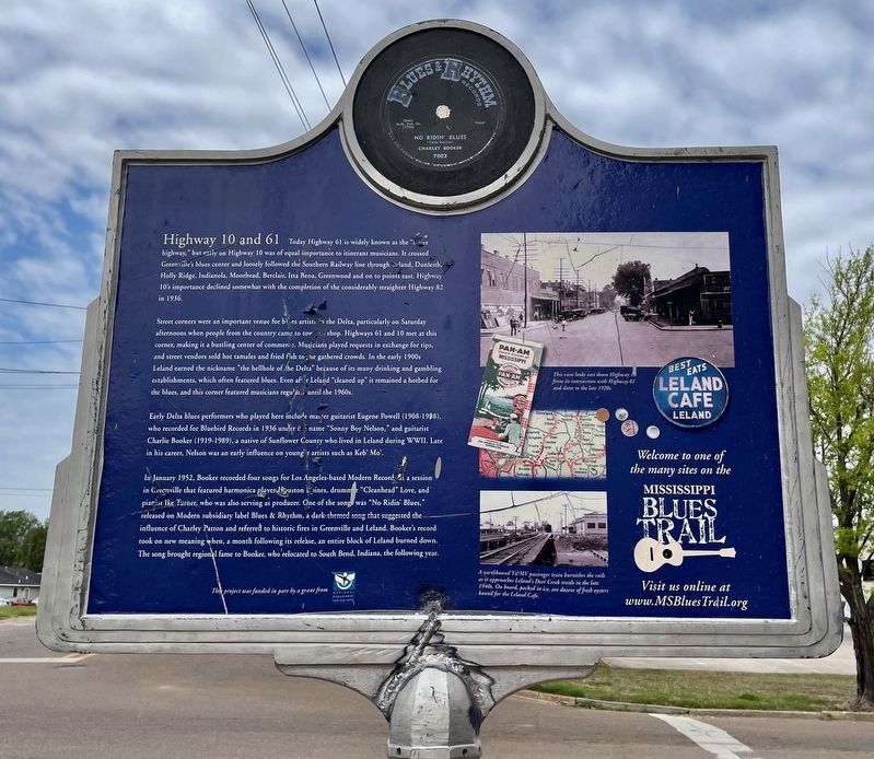
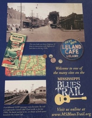
Today Highway 61 is widely known as the "blues highway," but early on Highway 10 was of equal importance to itinerant musicians. It crossed Greenville’s blues center and loosely followed the Southern Railway line through Leland, Dunleith, Holly Ridge, Indianola, Moorhead, Berclair, Itta Bena, Greenwood and on to points east. Highway 10’s importance declined somewhat with the completion of the considerably straighter Highway 82 in 1936.
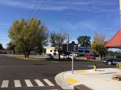
Street corners were an important venue for blues artists in the Delta, particularly on Saturday afternoons when people from the country came to town to shop. Highways 61 and 10 met at this corner, making it a bustling center of commerce. Musicians played requests in exchange for tips, and street vendors sold hot tamales and fried fish to the gathered crowds. In the early 1900s Leland earned the nickname "the hellhole of the Delta" because of its many drinking and gambling establishments, which often featured blues. Even after Leland "cleaned up" it remained a hotbed for the blues, and this corner featured musicians regularly until the 1960s.
Early Delta blues performers who played here include master guitarist Eugene Powell (1908-1998), who recorded for Bluebird Records in 1936 under the name "Sonny Boy Nelson," and guitarist Charlie Booker (1919-1989), a native of Sunflower County who lived in Leland during WWII. Late in his career, Nelson was an early influence on younger artists such as Keb’ Mo’.
In January 1952, Booker recorded four songs for Los Angeles-based Modern Records at a session in Greenville that featured harmonica player Houston Boines, drummer "Cleanhead" Love, and pianist Ike Turner, who was also serving as producer. One of the songs was "No Ridin’ Blues," released on Modern subsidiary label Blues & Rhythm, a dark-themed song that suggested the influence of Charley Patton and referred to historic fires in Greenville and Leland. Booker’s record took on new meaning when, a month following its release, an entire block of Leland burned down. The song brought regional fame to Booker, who relocated to South Bend, Indiana, the following year.
Erected 2007 by the Mississippi Blues Commission. (Marker Number 7.)
Topics and series. This historical marker is listed in these topic lists: African Americans • Arts, Letters, Music • Entertainment • Industry & Commerce. In addition, it is included in the Mississippi Blues Trail series list. A significant historical month for this entry is January 1952.
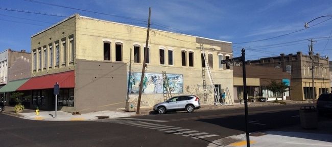
Location. 33° 24.351′ N, 90° 53.925′ W. Marker is in Leland, Mississippi, in Washington County. Marker is at the intersection of North Main Street and 3rd Street, on the right when traveling north on North Main Street. Touch for map. Marker is at or near this postal address: 301 North Main Street, Leland MS 38756, United States of America. Touch for directions.
Other nearby markers. At least 8 other markers are within 8 miles of this marker, measured as the crow flies. James “Son” Thomas (about 400 feet away, measured in a direct line); Johnny Winter (about 400 feet away); Tyrone Davis (about 400 feet away); Birthplace of Kermit the Frog (approx. 0.2 miles away); Ruby's Nite Spot (approx. 0.2 miles away); Deer Creek (approx. 0.6 miles away); Jimmy Reed (approx. 5.7 miles away); Freedom Village (approx. 7.3 miles away). Touch for a list and map of all markers in Leland.
Credits. This page was last revised on April 7, 2021. It was originally submitted on October 31, 2015, by Mark Hilton of Montgomery, Alabama. This page has been viewed 473 times since then and 41 times this year. Photos: 1. submitted on October 31, 2015, by Mark Hilton of Montgomery, Alabama. 2. submitted on April 7, 2021, by Mark Hilton of Montgomery, Alabama. 3, 4, 5. submitted on October 31, 2015, by Mark Hilton of Montgomery, Alabama.
