High Amana in Iowa County, Iowa — The American Midwest (Upper Plains)
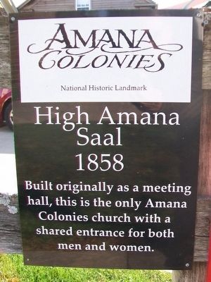
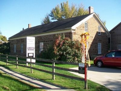
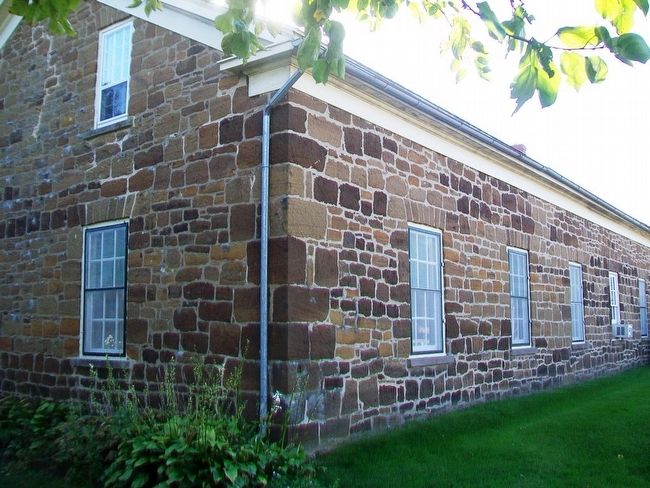
High Amana Saal
1858
Erected by Amana Colonies Convention and Visitor's Bureau.
Topics. This historical marker is listed in this topic list: Churches & Religion.
Location. 41° 48.217′ N, 91° 56.508′ W. Marker is in High Amana, Iowa, in Iowa County. Marker is on G Street west of 13th Avenue, on the left when traveling west. Touch for map. Marker is at or near this postal address: 1210 G Street, Amana IA 52203, United States of America. Touch for directions.
Other nearby markers. At least 8 other markers are within 4 miles of this marker, measured as the crow flies. Lily Lake, Amana Colonies (approx. 2.8 miles away); Site of the 35th World Plowing Matches (approx. 3 miles away); Windmill House (approx. 3.6 miles away); Amana Colonies (approx. 3.6 miles away); Ronneburg Restaurant (approx. 3.6 miles away); The Wickery (approx. 3.6 miles away); Amana General Store (approx. 3.7 miles away); Wash House and Woodshed (approx. 3.7 miles away).
Also see . . . The History of Amana. (Submitted on November 2, 2015, by William Fischer, Jr. of Scranton, Pennsylvania.)
Credits. This page was last revised on November 17, 2020. It was originally submitted on November 2, 2015, by William Fischer, Jr. of Scranton, Pennsylvania. This page has been viewed 236 times since then and 15 times this year. Photos: 1, 2, 3. submitted on November 2, 2015, by William Fischer, Jr. of Scranton, Pennsylvania.


