Mile Square in Indianapolis in Marion County, Indiana — The American Midwest (Great Lakes)
Indiana Avenue
Inscription.
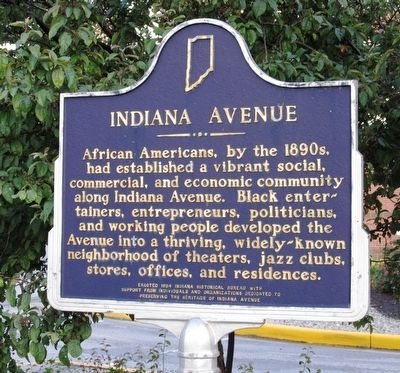
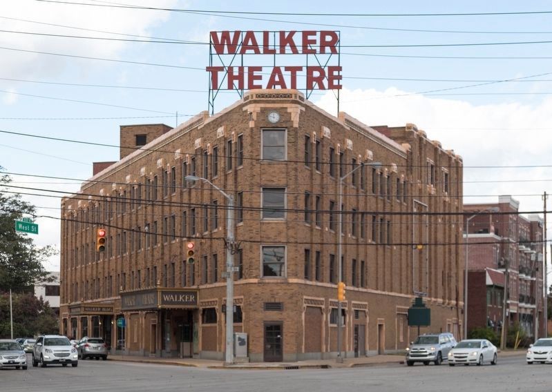
African Americans, by the 1890s, had established a vibrant social, commercial, and economic community along Indiana Avenue. Black entertainers, entrepreneurs, politicians, and working people developed the Avenue into a thriving, widely-known neighborhood of theaters, jazz clubs, stores, offices, and residences.
Erected 1994 by Indiana Historical Bureau with support from individuals and organizations dedicated to preserving the heritage of Indiana Avenue. (Marker Number 49.1994.2.)
Topics and series. This historical marker is listed in these topic lists: African Americans • Arts, Letters, Music • Entertainment • Industry & Commerce. In addition, it is included in the Indiana Historical Bureau Markers series list.
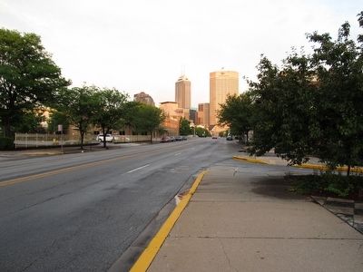
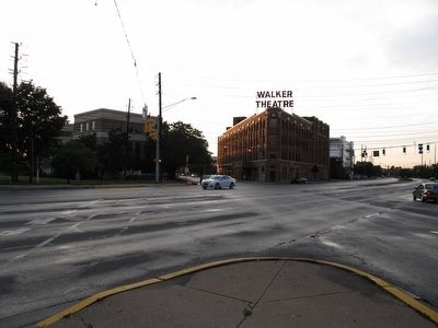
Location. 39° 46.516′ N, 86° 9.988′ W. Marker is in Indianapolis, Indiana, in Marion County. It is in Mile Square. Marker is at the intersection of Indiana Avenue and N. West Street, on the right when traveling north on Indiana Avenue. Marker is located at the SE corner on the traffic island, West Street & Indiana Avenue. Touch for map. Marker is in this post office area: Indianapolis IN 46202, United States of America. Touch for directions.
Other nearby markers. At least 8 other markers are within walking distance of this marker. James Overall (within shouting distance of this marker); Madame C.J. Walker Timeline (about 400 feet away, measured in a direct line); Sigma Theta Tau International (about 500 feet away); USS Indianapolis CA-35 (approx. 0.2 miles away); Bethel African Methodist Episcopal Church (approx. 0.2 miles away); Talking Wall (approx. 0.2 miles away); Mary Cable / School No. 4 Site (approx. 0.2 miles away); Jones Tabernacle A.M.E. Zion Church Site (approx. ¼ mile away). Touch for a list and map of all markers in Indianapolis.
Credits. This page was last revised on February 4, 2023. It was originally submitted on June 17, 2016, by Paul Fehrenbach of Germantown, Wisconsin. This page has been viewed 374 times since then and 24 times this year. Photos: 1, 2, 3, 4. submitted on June 17, 2016, by Paul Fehrenbach of Germantown, Wisconsin. 5. submitted on December 30, 2018, by J. J. Prats of Powell, Ohio. • Bill Pfingsten was the editor who published this page.
