Guatemala City in Guatemala Department, — Central America
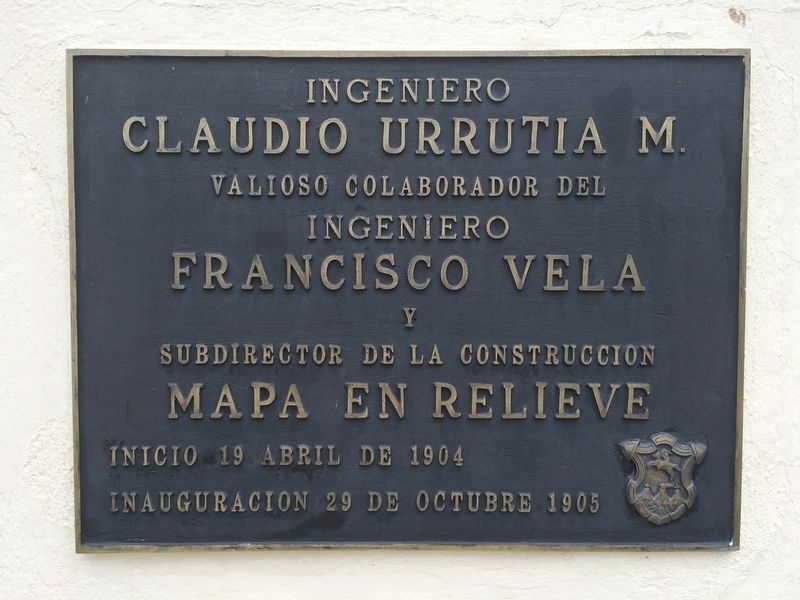
Engineer Claudio Urrutia M.
Claudio Urrutia M.
Valioso colaborador del
Ingeniero
Francisco Vela
y
Subdirector de la construccion
Mapa en relieve
Inicio 19 de abril de 1904
Inauguracion 29 de octubre 1905
Escudo de la Ciudad de Guatemala
Claudio Urrutia M.
Most valuable collaborator of
Engineer Francisco Vela
and Subdirector of the construction of the
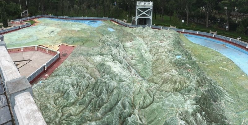
Relief Map of Guatemala
Work initiated April 19, 1904
Inaugurated October 29, 1905
Seal of the City of Guatemala
Topics. This historical marker is listed in these topic lists: Arts, Letters, Music • Charity & Public Work. A significant historical date for this entry is April 19, 1904.
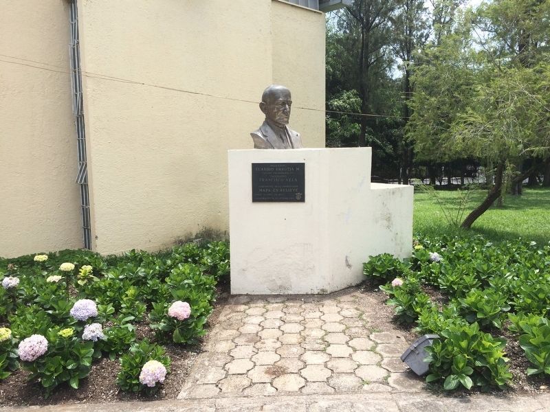
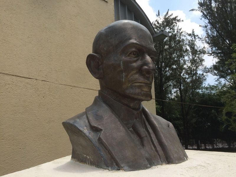
Location. 14° 39.647′ N, 90° 30.522′ W. Marker is in Guatemala City, Guatemala (Guatemala Department). Marker can be reached from Avenidad Simeon Cañas. The bust and marker are to the north of the Relief Map of Guatemala at the end of Avenida Simeon Cañas. Touch for map. Marker is in this post office area: Guatemala City, Guatemala 01002, Guatemala. Touch for directions.
Other nearby markers. At least 8 other markers are within walking distance of this marker. Engineer Francisco Vela (a few steps from this marker); Lieutenant Colonel and Engineer Francisco Vela (within shouting distance of this marker); General Francisco Morazán (approx. 1.1 kilometers away); First Autonomous University in Guatemala (approx. 1.2 kilometers away); Jocotenango Park (approx. 1.2 kilometers away); Yurrita House (approx. 1.4 kilometers away); The Mexican Fountain at El Cerrito del Carmen (approx. 1.5 kilometers away); First Council of the City of Guatemala (approx. 1.5 kilometers away). Touch for a list and map of all markers in Guatemala City.
Credits. This page was last revised on May 17, 2021. It was originally submitted on July 14, 2016, by J. Makali Bruton of Accra, Ghana. This page has been viewed 317 times since then and 21 times this year. Photos: 1, 2, 3, 4. submitted on July 14, 2016, by J. Makali Bruton of Accra, Ghana.


