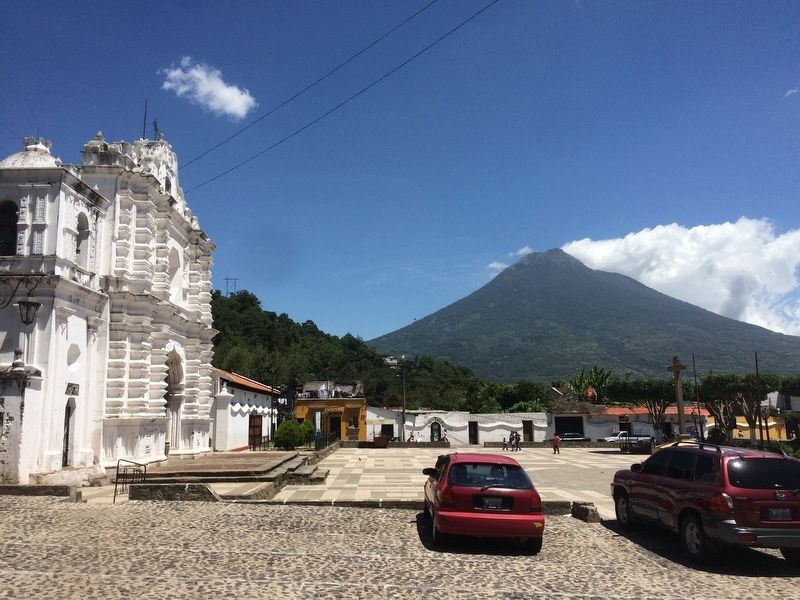
Antigua Guatemala, Sacatepéquez, Guatemala — Central America (Central Highlands)
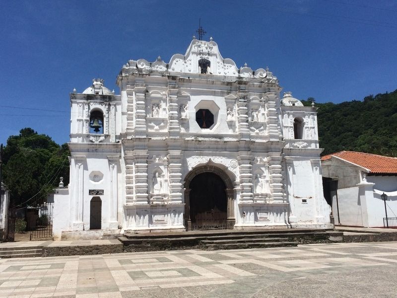
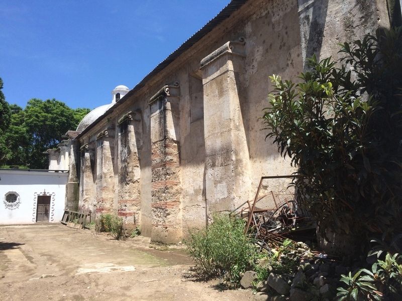
Catholic Church of Santa Ana
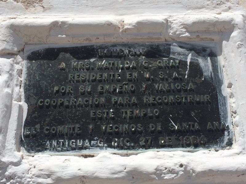
a Mrs. Matilda G. Gray
Residente en U.S.A.
por su empeño y valiosa
cooperacion para reconstruir
este templo
El Comite y vecinos de Santa Ana
Antigua G. Dic. 27 de 1964
Resident of the USA
for her diligence and valuable
cooperation in the reconstruction of this temple
The Committee and neighbors of Santa Ana
Antigua Guatemala, December 27, 1964
Erected 1964 by El Comité y vecinos de Santa Ana.
Topics. This historical marker is listed in these topic lists: Charity & Public Work • Churches & Religion. A significant historical date for this entry is December 27, 1964.
Location. 14° 32.882′ N, 90° 43.532′ W. Marker is in Antigua Guatemala, Sacatepéquez. The marker is on the front of the Catholic Church of Santa Ana, in the central square of Aldea Santa Ana. Touch for map. Marker is in this post office area: Antigua Guatemala, Sacatepéquez 03001, Guatemala. Touch for directions.
Other nearby markers. At least 8 other markers are within walking distance of this marker. Home of Brother Pedro (approx. half a kilometer away); Walter Williams in Guatemala (approx. half a kilometer away); The Hermitage of the Holy Calvary (approx. half a kilometer away); Volcano Agua (approx. 0.6 kilometers away); Volcanos Fuego and Acatenango (approx. 0.6 kilometers away); Esquisuchil (approx. 0.6 kilometers away); J. Adrian Coronado y Polanco (approx. 0.7 kilometers away); Don Rafael V. Alvarez Polanco (approx. 0.7 kilometers away). Touch for a list and map of all markers in Antigua Guatemala.
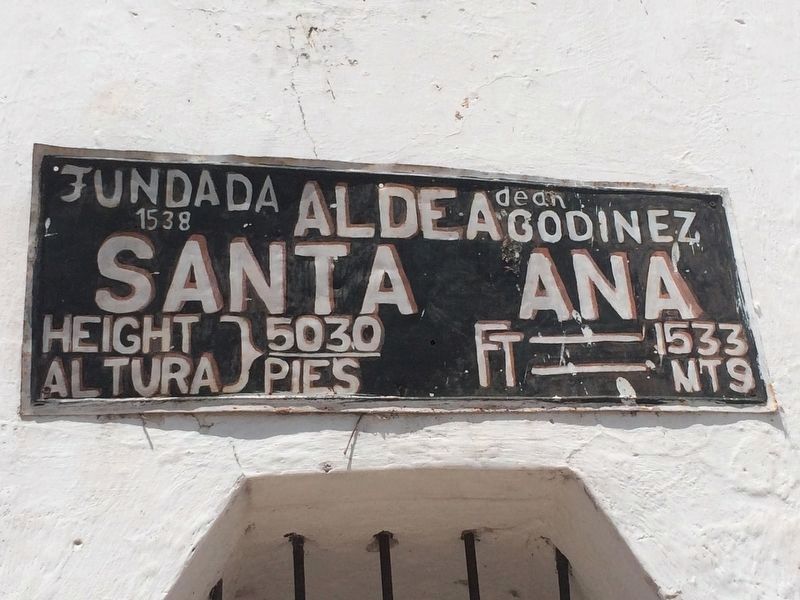
Regarding Catholic Church of Santa Ana. Santa Ana is a village (aldea) of La Antigua Guatemala.
Credits. This page was last revised on March 2, 2018. It was originally submitted on July 15, 2016, by J. Makali Bruton of Accra, Ghana. This page has been viewed 329 times since then and 22 times this year. Photos: 1, 2, 3, 4, 5. submitted on July 15, 2016, by J. Makali Bruton of Accra, Ghana.
