Marker Logo HMdb.org THE HISTORICAL
MARKER DATABASE
“Bite-Size Bits of Local, National, and Global History”
Near Mayfield in Sumner County, Kansas — The American Midwest (Upper Plains)
 

The Chisholm Trail


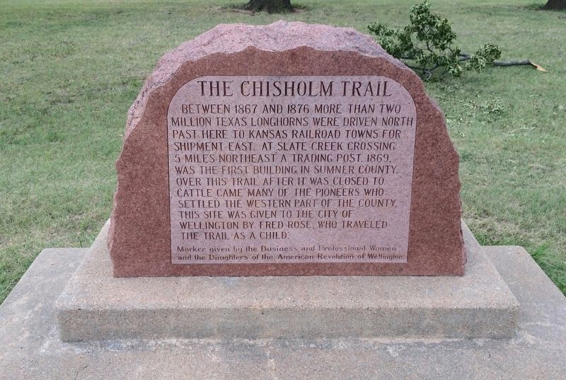
The Chisholm Trail Marker image. Click for full size.
Photographed By Mark Hilton, August 2, 2016
1. The Chisholm Trail Marker
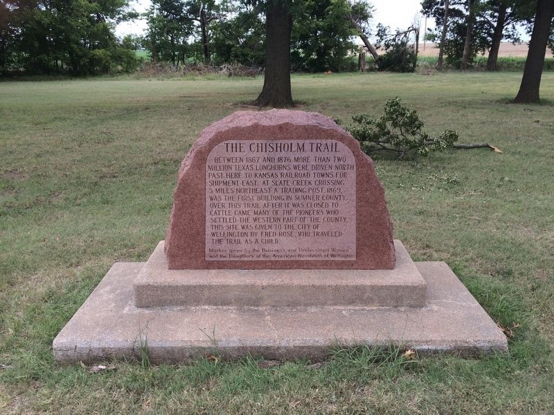
Inscription. Between 1867 and 1876 more than two million Texas Longhorns were driven North past here to Kansas railroad towns for shipment East. At Slate Creek Crossing 5 miles northeast a trading post, 1869, was the first building in Sumner County. Over this trail after it was closed to cattle came many of the pioneers who settled western part of the county. This site was given to the City of Wellington by Fred Rose, who traveled the trail as a child.
 
Erected 1942 by Business and Professional Women and the Daughters of the American Revolution of Wellington.
 
Topics and series. This historical marker is listed in these topic lists: AnimalsSettlements & Settlers. In addition, it is included in the Daughters of the American Revolution series list. A significant historical year for this entry is 1867.
 
Location. 37° 15.469′ N, 97° 31.778′ W. Marker is near Mayfield, Kansas, in Sumner County. Marker is at the intersection of West 20th Street South and South Anson Road, on the right when traveling east on West 20th Street South. Located in a former roadside park. Touch for map. Marker is at or near this postal address: West 20th Street South, Mayfield KS 67103, United States of America. Touch for directions.
 
Other nearby markers. At least 1 other marker is within 8 miles of this marker, measured as the crow flies. Bronze Field Guns
Paid Advertisement
Click on the ad for more information.
Please report objectionable advertising to the Editor.
Click or scan to see
this page online
(approx. 7.3 miles away).
 
Also see . . .  Wikipedia article on the Chisholm Trail. (Submitted on August 2, 2016, by Mark Hilton of Montgomery, Alabama.)
 
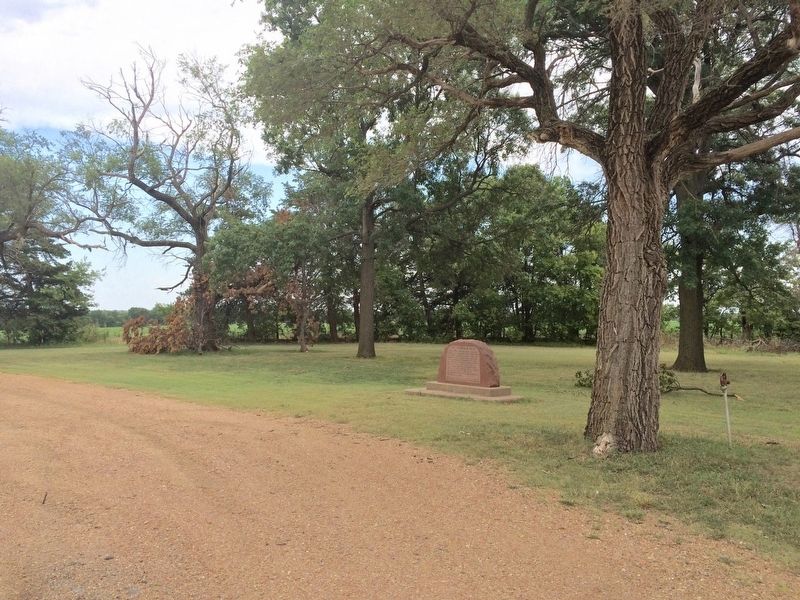
The Chisholm Trail Marker in old roadside park. image. Click for full size.
Photographed By Mark Hilton, August 2, 2016
2. The Chisholm Trail Marker in old roadside park.
Full photo of marker and base. image. Click for full size.
Photographed By Mark Hilton, August 2, 2016
3. Full photo of marker and base.
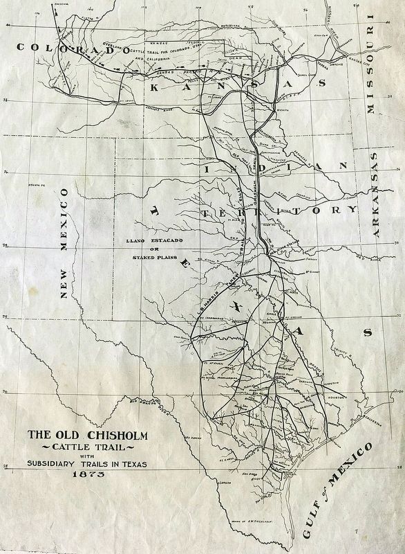
1873 Map of Chisholm Trail with Subsidiary Trails in Texas image. Click for full size.
Courtesy- Kansas Historical Society.
4. 1873 Map of Chisholm Trail with Subsidiary Trails in Texas
 
 
Credits. This page was last revised on August 2, 2016. It was originally submitted on August 2, 2016, by Mark Hilton of Montgomery, Alabama. This page has been viewed 519 times since then and 43 times this year. Photos:   1, 2, 3, 4. submitted on August 2, 2016, by Mark Hilton of Montgomery, Alabama.
Share this page.  
Share on Tumblr
m=96430

CeraNet Cloud Computing sponsors the Historical Marker Database.
This website earns income from purchases you make after using our links to Amazon.com. We appreciate your support.
Paid Advertisement
Apr. 26, 2024