West Palm Beach in Palm Beach County, Florida — The American South (South Atlantic)
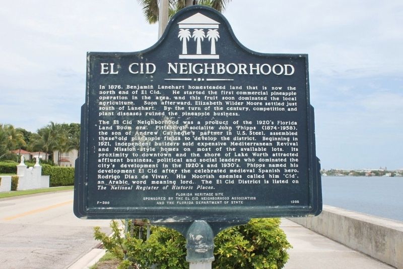
El Cid Neighborhood
The El Cid Neighborhood was a product of the 1920's Florida Land Boom era. Pittsburgh socialite John Phipps (1874-1958), the son of Andrew Carnegie's partner in U.S. steel, assembled these old pineapple fields to develop the district. Beginning in 1921, independent builders sold expensive Mediterranean Revival and Mission-style homes on most of the available lots. It's proximity to downtown and the shore of Lake Worth attracted affluent business, political and social leaders who dominated the city's development in the 1920's and 1930's. Phipps named his development El Cid after the celebrated medieval Spanish hero, Rodrigo Diaz de Vivar. His Moorish enemies called him "Cid", an Arabic word meaning lord. The El Cid District is listed on The National Register of Historic Places.
Erected 1998 by The El Cid Neighborhood Association and The Florida Deptment of the State. (Marker Number F390.)
Topics. This historical marker is listed in these topic lists: Architecture • Settlements & Settlers. A significant historical year for this entry is 1876.
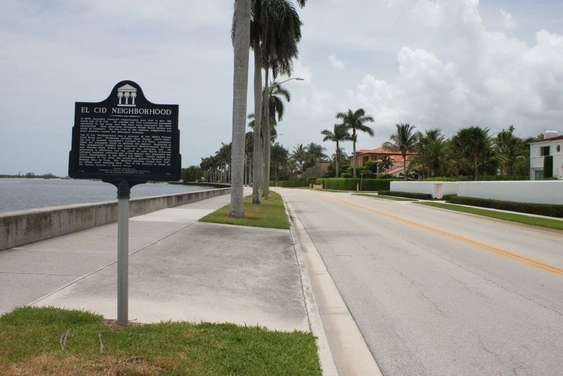
Location. 26° 41.432′ N, 80° 2.996′ W. Marker is in West Palm Beach, Florida, in Palm Beach County. Marker is at the intersection of South Flagler Drive and Pershing Way, on the left when traveling south on South Flagler Drive. Touch for map. Marker is in this post office area: West Palm Beach FL 33401, United States of America. Touch for directions.
Other nearby markers. At least 8 other markers are within 2 miles of this marker, measured as the crow flies. Ann Norton Sculpture Gardens/Ann Weaver Norton (approx. 0.3 miles away); Flamingo Park (approx. 0.6 miles away); Mango Promenade Historic District (approx. 0.6 miles away); Flamingo Park Historic District (approx. 0.6 miles away); Pioneer Memorial Park (approx. 0.7 miles away); Grandview Heights Historic District (approx. ¾ mile away); Site of the Palm Beach Pier (approx. 1.3 miles away); Palm Beach High School (approx. 1.4 miles away). Touch for a list and map of all markers in West Palm Beach.
Credits. This page was last revised on August 10, 2016. It was originally submitted on August 10, 2016, by Tim Fillmon of Webster, Florida. This page has been viewed 733 times since then and 56 times this year. Photos: 1, 2. submitted on August 10, 2016, by Tim Fillmon of Webster, Florida. • Bernard Fisher was the editor who published this page.

