Westland in Wayne County, Michigan — The American Midwest (Great Lakes)
Nankin Mills
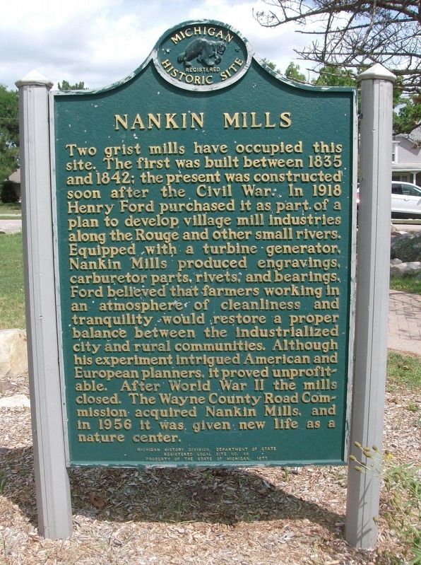
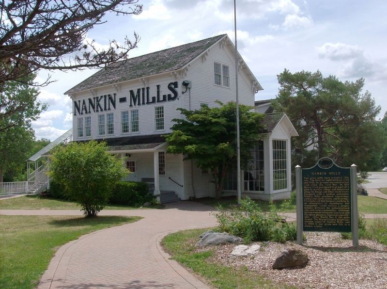
Two grist mills have occupied this site. The first mill was built between 1835 and 1842; the present was constructed soon after the Civil War. In 1918 Henry Ford purchased it as part of a plan to develop village mill industries along the Rouge and other small rivers. Equipped with a turbine generator, Nankin Mills produced engravings, carburetor parts, rivets, and bearings. Ford believed that farmers working in an atmosphere of cleanliness and tranquility would restore a proper balance between the industrialized city and rural communities. Although his experiment intrigued American and European planners, it proved unprofitable. After World War II the mills closed. The Wayne County Road Commission acquired Nankin Mills, and in 1956 it was given new life as a nature center.
Erected 1977 by Michigan History Division, Department of State. (Marker Number L68.)
Topics and series. This historical marker is listed in this topic list: Industry & Commerce. In addition, it is included in the Michigan Historical Commission series list. A significant historical year for this entry is 1835.
Location. 42° 20.949′ N, 83° 22.212′ W. Marker is in Westland, Michigan, in Wayne County. Marker is on Ann Arbor Trail, 0.2 miles east of Edward N Hines Drive, on the right when traveling east. Touch for map. Marker is at or near this postal address: 33175 Ann Arbor Trail, Westland MI 48185, United States of America. Touch for directions.
Other nearby markers. At least 8 other markers are within 2 miles of this marker, measured as the crow flies. Nankin Millers House (within shouting distance of this marker); a different marker also named Nankin Mills (about 400 feet away, measured in a direct line); "Learning by Doing" (approx. 0.2 miles away); Chief Tonquish Burial Site (approx. 0.8 miles away); Perrinsville School (approx. one mile away); Perrinsville (approx. 1.1 miles away); A Nankin Pioneer (approx. 1˝ miles away); Newburgh Cemetery (approx. 1.6 miles away). Touch for a list and map of all markers in Westland.
Also see . . . History of Nankin Mills. (Submitted on August 18, 2016, by Joel Seewald of Madison Heights, Michigan.)
Credits. This page was last revised on August 18, 2016. It was originally submitted on August 18, 2016, by Joel Seewald of Madison Heights, Michigan. This page has been viewed 741 times since then and 58 times this year. Photos: 1, 2. submitted on August 18, 2016, by Joel Seewald of Madison Heights, Michigan.

