Potomac Yard in Alexandria, Virginia — The American South (Mid-Atlantic)
The People of Potomac Yard
City of Alexandria Est. 1749
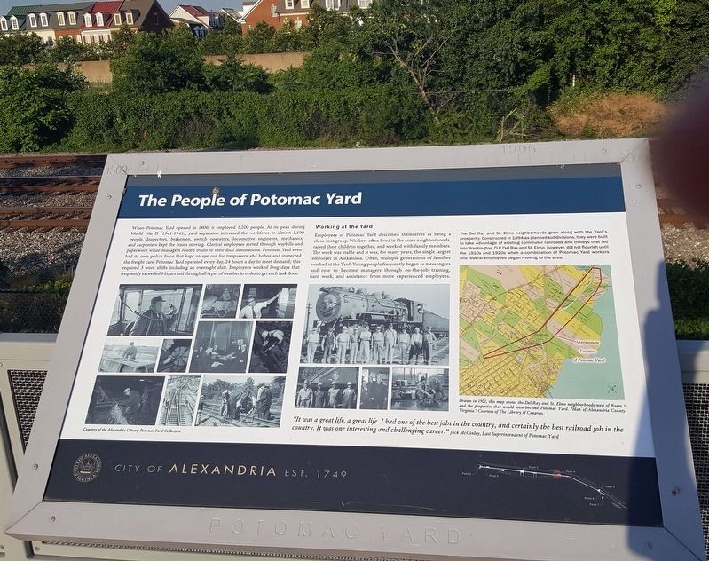
When Potomac Yard opened in 1906, it employed 1,200 people. At its peak during World War II (1941–1945), yard expansion increased the workforce to almost 1,500 people. Inspectors, brakemen, switch operators, locomotive engineers, mechanics, and carpenters kept the trains moving. Clerical employees sorted through waybills and paperwork while managers routed trains to their final destinations. Potomac Yard even had its own police force that kept an eye out for trespassers and hobos and inspected the freight cars. Potomac Yard operated every day, 24 hours a day to meet demand; this required 3 work shifts including an overnight shift Employees worked long days that frequently exceeded 8 hours and through all types of weather in order to get each task done.
Working at the Yard
Employees of Potomac Yard described themselves as being a close-knit group. Workers often lived in the same neighborhoods, raised their children together, and worked with family members. The work was stable and it was, for many years, the single largest employer in Alexandria. Often, multiple generations of families worked at the Yard. Young people frequently began as messengers and rose to become managers through on-the-job training, hard work, and assistance from more experienced employees.
The Del Ray and St. Elmo neighborhoods
“It was a great life, a great life. I had one of the best jobs in the country, and certainly the best railroad job in the country. It was one interesting and challenging career.” —Jack McGinley, Last Superintendent of Potomac Yard
Erected by City of Alexandria. (Marker Number 4.)
Topics and series. This historical marker is listed in this topic list: Railroads & Streetcars. In addition, it is included in the Virginia, The City of Alexandria series list. A significant historical year for this entry is 1906.
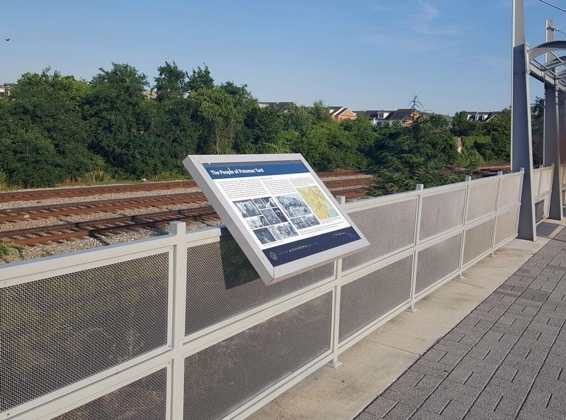
Location. 38° 49.579′ N, 77° 2.828′ W. Marker is in Alexandria, Virginia. It is in Potomac Yard. Marker is at the intersection of Potomac Avenue and East Custis Avenue, on the right on Potomac Avenue. The marker is on the Potomac Yard Trail which parallels Potomac Avenue, at the small plaza at the foot of Custis Avenue. It overlooks the three railroad tracks that remain of the former Potomac Yards, in the Potomac Yard neighborhood of Alexandria. Touch for map. Marker is in this post office area: Alexandria VA 22305, United States of America. Touch for directions.
Other nearby markers. At least 8 other markers are within walking distance of this marker. Building Potomac Yard (approx. ¼ mile away); Crossroads of Transportation (approx. ¼ mile away); The Rail Yard Hump (approx. ¼ mile away); Potomac Yard in Transition (approx. 0.3 miles away); The Alexanders & Agriculture (approx. 0.4 miles away); Virginia's First Highways (approx. half a mile away); Corporal Charles William Hill (approx. half a mile away); St. Asaph Racetrack (approx. half a mile away). Touch for a list and map of all markers in Alexandria.
More about this marker. The marker has a number of photographs of Potomac Yard workers and a large map showing the approximate location of Potomac Yard. The map’s legend reads, “Drawn in 1900, this map shows the Del Ray and St. Elmo neighborhoods west of Route 1 and the properties that would soon become Potomac Yard.” It is a portion of a map titled “Map of Alexandria County, Virginia” from the Library of Congress.
Credits. This page was last revised on January 27, 2023. It was originally submitted on August 19, 2016, by J. J. Prats of Powell, Ohio. This page has been viewed 400 times since then and 17 times this year. Last updated on March 30, 2018, by Devry Becker Jones of Washington, District of Columbia. Photos: 1, 2, 3. submitted on August 19, 2016, by J. J. Prats of Powell, Ohio. • Bill Pfingsten was the editor who published this page.


