Colonial Beach in Westmoreland County, Virginia — The American South (Mid-Atlantic)
Free to Fight
Star-Spangled Banner National Historic Trail
— National Park Service, U.S. Department of the Interior —
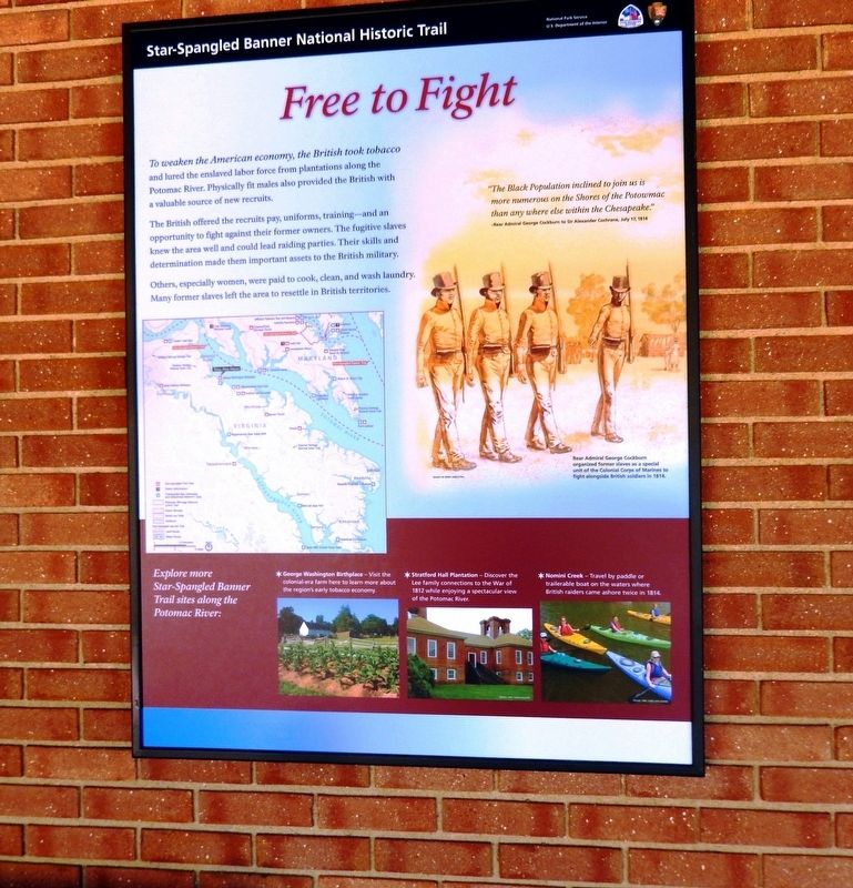
To weaken the American economy, the British took tobacco and lured the enslaved labor force from plantations along the Potomac River. Physically fit males also provided the British with a valuable source of new recruits.
The British offered the recruits pay, uniforms, training—and an opportunity to fight against their former owners. The fugitive slaves knew the area well and could lead raiding parties. Their skills and determination made them important assets to the British military.
Others, especially women, were paid to cook, clean, and wash laundry. Many former slaves left the area to resettle in British territories.
“The Black Population inclined to join us is more numerous on the Shores of the Potowmac than any where else within the Chesapeake.”
-Rear Admiral George Cockburn to Sir Alexander Cochrane, July 17, 1814
(caption)
(right) Rear Admiral George Cockburn organized former slaves as a special unit of the Colonial Corps of Marines to fight alongside British soldiers in 1814.
(sidebar)
Explore more Star-Spangled Banner Trial sites along the Potomac River:
* George Washington Birthplace — Visit the colonial-era farm here to learn more about the region’s early tobacco economy.
* Stratford Hall Plantation — Discover the Lee family connections to the War of 1812 while enjoying a spectacular view of the Potomac River.
* Nomini Creek — Travel by paddle or trailerable boat on the waters where British raiders came ashore twice in 1814.
Erected 2015 by National Park Service, U.S. Department of the Interior.
Topics. This historical marker is listed in these topic lists: African Americans • War of 1812.
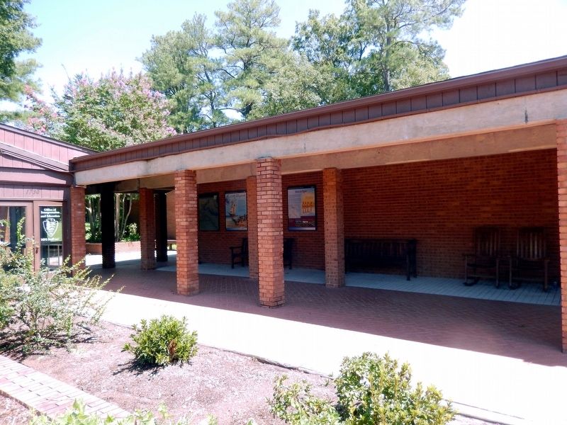
Location. 38° 10.982′ N, 76° 55.082′ W. Marker is in Colonial Beach, Virginia, in Westmoreland County. Marker can be reached from the intersection of Popes Creek Road (Virginia Route 204) and Bridges Creek Road, on the right when traveling north. The marker is attached to the exterior wall of the George Washington Birthplace National Monument Visitor Center. Touch for map. Marker is at or near this postal address: 1732 Popes Creek Road, Colonial Beach VA 22443, United States of America. Touch for directions.
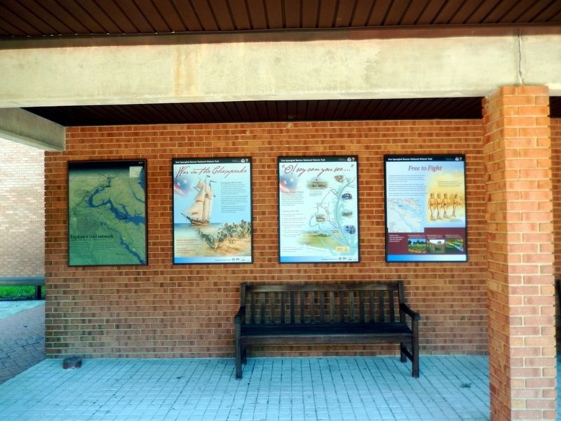
Other nearby markers. At least 8 other markers are within walking distance of this marker. “O! say can you see…” (here, next to this marker); War in the Chesapeake (a few steps from this marker); Explore a trail network (a few steps from this marker); The Historic Area (within shouting distance of this marker); Popes Creek Plantation (about 600 feet away, measured
in a direct line); The Memorial Area (approx. 0.2 miles away); Dairy (approx. 0.2 miles away); Artery of Commerce (approx. ¼ mile away). Touch for a list and map of all markers in Colonial Beach.
Also see . . .
1. George Washington Birthplace National Monument. National Park Service (Submitted on August 22, 2016.)
2. Star-Spangled Banner National Historic Trail. Fort McHenry National Monument and Shrine (Submitted on August 22, 2016.)
3. Star-Spangled Banner National Historic Trail. National Park Service (Submitted on August 22, 2016.)
Credits. This page was last revised on June 14, 2020. It was originally submitted on August 20, 2016, by Don Morfe of Baltimore, Maryland. This page has been viewed 280 times since then and 13 times this year. Photos: 1, 2, 3. submitted on August 20, 2016, by Don Morfe of Baltimore, Maryland. • Bernard Fisher was the editor who published this page.


