Kinsale in Westmoreland County, Virginia — The American South (Mid-Atlantic)
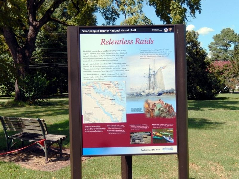
Relentless Raids
Star-Spangled Banner National Historic Trail
— National Park Service, U.S. Department of the Interior —
The British mounted a series of devastating raids across Virginia’s Northern Neck during 1813 and 1814. They plundered the area’s rich tobacco lands, lured new recruits from among its dense population of slaves, and destroyed property. The overmatched American militia could not stop them.
On July 14, 1813, British forces from HMS Mohawk and Contest captured and set fire to the schooner Asp in nearby Yeocomico River. The Americans managed to save the vessel, but the Asp’s young commander, Midshipman James Sigourney, was killed in the action.
The British returned in 1814 with a vengeance. Their superior forces prevailed at sites along the Coan River and Nomni Creek and destroyed most of Kinsale.
“The Buccaneer spared nothing at Kinsale but the hovel of a poor old negro woman—the houses (about 20 or 30) were burnt—every article was taken off which they could carry, the rest was destroyed…”
-Richmond Enquirer, August 10, 1814
(captions)
Depiction of the U.S. schooner Asp under attack by the British
British raiding parties often included former slaves who escaped the plantations to seek freedom with the enemy.
(sidebar)
Explore more of the area’s War of 1812 history at these nearby places:
* Kinsale Museum — Enjoy a walking tour of Kinsale and learn more of its history at the town’s museum.
* Virginia War of 1812 Heritage Trail — Discover historical markers and sites that highlight Virginia’s role in the war.
* Sigourney monument — Visit Bailey Cemetery in Kinsale to see a monument to James Sigourney, the commander of the Asp killed by the British in 1813.
* Nomini Creek — Travel by paddle or trailerable boat on lovely Nomini Creek, where British raiders came ashore twice in 1814.
Erected 2014 by National Park Service, U.S. Department of the Interior.
Topics. This historical marker is listed in this topic list: War of 1812. A significant historical date for this entry is July 14, 1813.
Location. 38° 1.781′ N, 76° 34.728′ W. Marker is in Kinsale, Virginia, in Westmoreland County. Marker is at the intersection of Kinsale Road (Virginia Route 1004) and Virginia Route 1001, on the left when traveling east on Kinsale Road. Touch for map. Marker is at or near this postal address: 490 Kinsale Road, Kinsale VA 22488, United States of America. Touch for directions.
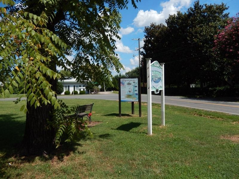
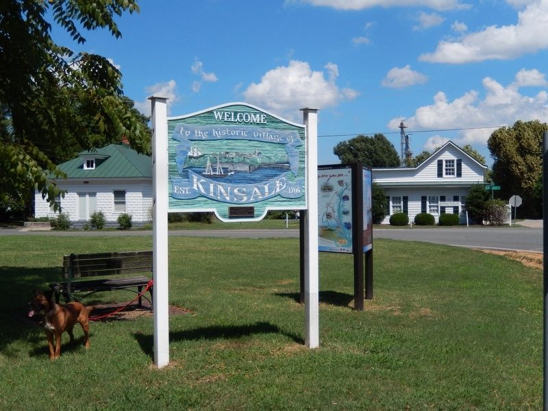
Other nearby markers. At least 8 other markers are within 3 miles of this marker, measured as the crow flies. War in the Chesapeake (here, next to this marker); “O! say can you see…” (here, next to this marker); Historic District of Kinsale, Virginia (within shouting distance
of this marker); Kinsale (approx. 1½ miles away); Northumberland County / Westmoreland County (approx. 1.6 miles away); The War of 1812 / British Attacks at Kinsale and Mundy Point (approx. 2 miles away); British Attacks at Kinsale and Muddy Point / The War of 1812 (approx. 2 miles away); War of 1812 (approx. 2.4 miles away). Touch for a list and map of all markers in Kinsale.
Also see . . .
1. Star-Spangled Banner National Historic Trail. Fort McHenry National Monument and Shrine (Submitted on August 22, 2016.)
2. Star-Spangled Banner National Historic Trail. National Park Service (Submitted on August 22, 2016.)
Credits. This page was last revised on June 14, 2020. It was originally submitted on August 21, 2016, by Don Morfe of Baltimore, Maryland. This page has been viewed 420 times since then and 20 times this year. Photos: 1, 2, 3. submitted on August 21, 2016, by Don Morfe of Baltimore, Maryland. • Bernard Fisher was the editor who published this page.


