Riverdale Park in Prince George's County, Maryland — The American Northeast (Mid-Atlantic)
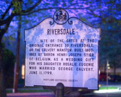
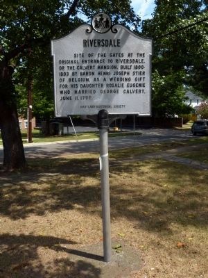
Riversdale
Erected by Maryland Historical Society.
Topics. This historical marker is listed in this topic list: Settlements & Settlers. A significant historical date for this entry is June 11, 1885.
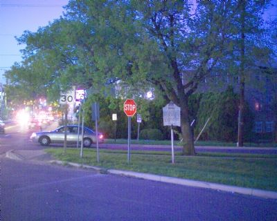
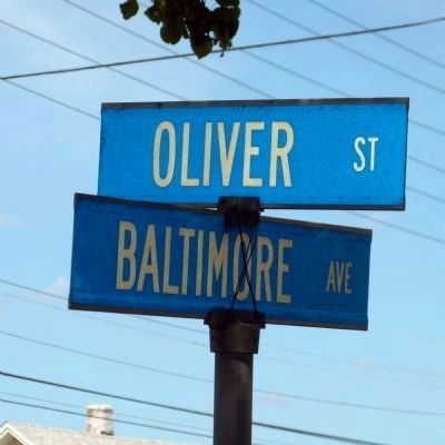
Location. 38° 57.696′ N, 76° 56.361′ W. Marker is in Riverdale Park, Maryland, in Prince George's County. Marker is at the intersection of Baltimore Avenue (U.S. 1) and Oliver Street and Harrison Avenue, on the right when traveling north on Baltimore Avenue. Touch for map. Marker is in this post office area: Riverdale MD 20737, United States of America. Touch for directions.
Other nearby markers. At least 5 other markers are within walking distance of this marker. The Town of Riverdale Park (about 800 feet away, measured in a direct line); Rhode Island Ave Trolley Trail (approx. 0.2 miles away); Calvert Family Cemetery (approx. 0.2 miles away); a different marker also named The Town of Riverdale Park (approx. ¼ mile away); From Plantation to Suburb; a Community Grows (approx. ¼ mile away). Touch for a list and map of all markers in Riverdale Park.
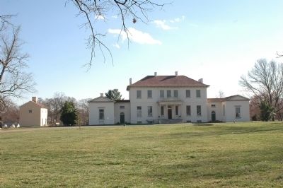
Regarding Riversdale. Oliver Street would lead right to the Riversdale Mansion three blocks east, if it were not interrupted by the railroad tracks. Queensbury Road, two blocks north, crosses the railroad tracks at grade. The near by “Wecome to Riversdale” marker has more information and photos of Riversdale.
Credits. This page was last revised on March 21, 2020. It was originally submitted on April 24, 2007, by Tom Fuchs of Greenbelt, Maryland. This page has been viewed 1,827 times since then and 8 times this year. Photos: 1, 2. submitted on April 24, 2007, by Tom Fuchs of Greenbelt, Maryland. 3. submitted on August 26, 2013, by Allen C. Browne of Silver Spring, Maryland. 4. submitted on March 21, 2006, by Tom Fuchs of Greenbelt, Maryland. 5. submitted on August 26, 2013, by Allen C. Browne of Silver Spring, Maryland. • J. J. Prats was the editor who published this page.
