Worland in Washakie County, Wyoming — The American West (Mountains)
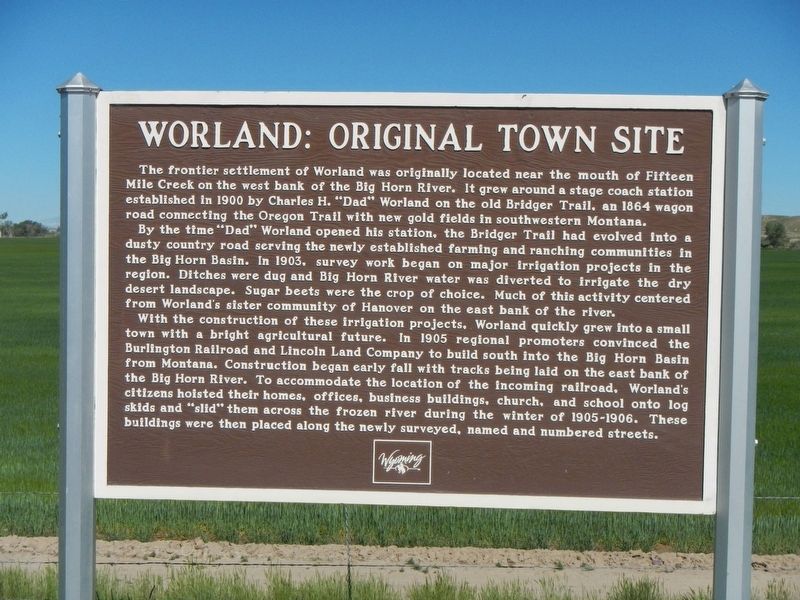
Worland: Original Town Site
By the time “Dad” Worland opened his station, the Bridger Trail had evolved into a dusty county road serving the newly established farming and ranching community in the Big Horn Basin. In 1903, survey work began on major irrigation projects in the region. Ditches were dug and Big Horn River water was diverted to irrigate the dry desert landscape. Sugar beets were the crop of choice. Much of this activity centered from Worland’s sister community of Hanover on the east bank of the river.
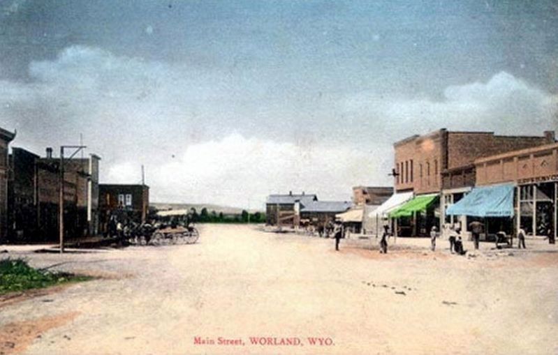
With the construction of these irrigation projects, Worland quickly grew into a small town with a bright agricultural future. In 1905 regional promoters convinced the Burlington Railroad and Lincoln Land Company to build south into the Big Horn Basin from Montana. Construction began early fall with tracks being laid on the east bank of the Big Horn River. To accommodate the location of the incoming railroad, Worland citizens hoisted their homes, offices, business buildings, and school onto log skids and “slid” them across the frozen river during the winter of 1905-1906. These buildings were then placed along the newly surveyed, named and numbered streets.
Erected by Wyoming State Historic Preservation Office.
Topics. This historical marker is listed in this topic list: Settlements & Settlers.
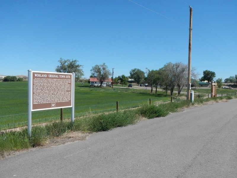
Location. 44° 0.78′ N, 107° 58.74′ W. Marker is in Worland, Wyoming, in Washakie County. Marker is on West Big Horn Avenue (U.S. 20) near Shiloh Road, on the left when traveling north. Touch for map. Marker is at or near this postal address: 1241 West Big Horn Avenue, Worland WY 82401, United States of America. Touch for directions.
Other nearby markers. At least 7 other markers are within 6 miles of this marker, measured as the crow flies. Worland Sugar Factory (a few steps from this marker); C.H. "Dad" Worland (a few steps from this marker); Pioneer Square (approx. 1.1 miles away); Trail of the Whispering Giants (approx. 1.2 miles away); Welcome to Worland, Wyoming (approx. 1.2 miles away); Jim Bridger Historic Trail (approx. 2˝ miles away); Colby Mammoth Kill Site (approx. 5.6 miles away).
Also see . . . World - Wyoming Tales and Trails. In 1903, C. F. Robertson began the construction of an irrigation canal, the Hanover Canal, named after Hanover, Indiana, the hometown of the county prosecuting attorney, John Pollock Arnott. The Lower Hanover Canal was completed in 1906, the Bighorn Canal in 1907, and the Upper Hanover Canal in 1910. The effect of irrigation is indicated in that in 1900 less than 1,000 acres was under irrigation and this soon grew to over 40,000 acres. (Submitted on September 15, 2016, by Barry Swackhamer of Brentwood, California.)
Credits. This page was last revised on September 15, 2016. It was originally submitted on September 15, 2016, by Barry Swackhamer of Brentwood, California. This page has been viewed 850 times since then and 107 times this year. Photos: 1, 2, 3. submitted on September 15, 2016, by Barry Swackhamer of Brentwood, California.


