Montmorenci in Aiken County, South Carolina — The American South (South Atlantic)
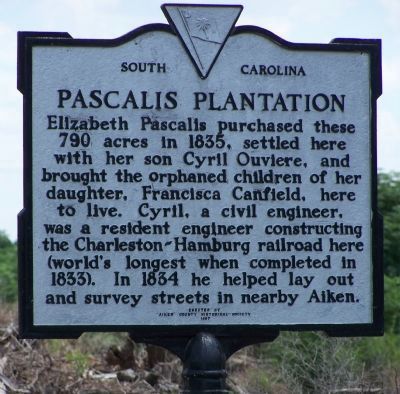
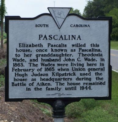
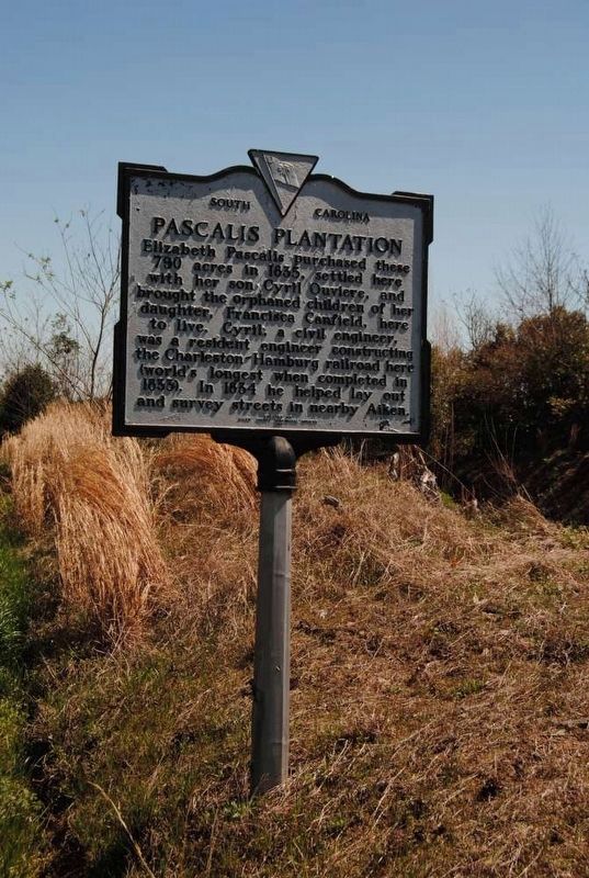
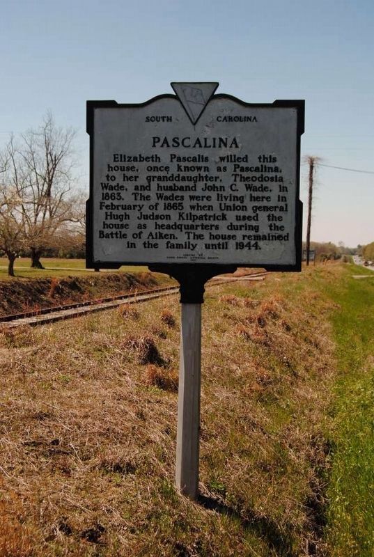
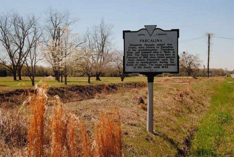
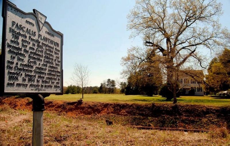
Pascalis Plantation / Pascalina
Erected 1987 by Aiken County Historical Society. (Marker Number 2–10.)
Topics and series. This historical marker is listed in this topic list: Notable Places. In addition, it is included in the South Carolina, Aiken County Historical Society series list. A significant historical month for this entry is February 1865.
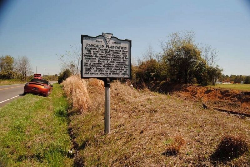
Location. 33° 31.344′ N, 81° 36.743′ W. Marker is in Montmorenci, South Carolina, in Aiken County. Marker is at the intersection of Charleston/Augusta Road (U.S. 78) and Old Tory Trail, on the right when traveling east on Charleston/Augusta Road. Marker is about .5 miles SE of Montmorenci. Touch for map. Marker is in this post office area: Aiken SC 29801, United States of America. Touch for directions.
Other nearby markers. At least 10 other markers are within 7 miles of this marker, measured as the crow flies. Camp Butler (approx. 3.8 miles away); Gaston Livery Stable (approx. 5.7 miles away); Aiken Training Track (approx. 5.9 miles away); Aiken County Farmers' Market (approx. 6 miles away); Millbrook Baptist Church (approx. 6.1 miles away); Friendship (African) Baptist Church (approx. 6.3 miles away); Friendship Baptist Church (approx. 6.3 miles away); Schofield School (approx. 6.4 miles away); Aiken Graded School (approx. 6.4 miles away); Bells and Whistles: Signaling (approx. 6.4 miles away).
Also see . . .
1. Pascalis Plantation – – Aiken County. Elizabeth Pascalis purchased the plantation which consisted of 790 acres. (Submitted on March 16, 2009, by Brian Scott of Anderson, South Carolina.)
2. Hugh Judson Kilpatrick. Hugh Judson Kilpatrick (January 14, 1836 – December 4, 1881) was an officer in the Union Army during the American Civil War, achieving the rank of brevet major general. (Submitted on March 16, 2009, by Brian Scott of Anderson, South Carolina.)
3. The Battle of Aiken. Official website. (Submitted on March 16, 2009, by Brian Scott of Anderson, South Carolina.)
4. Charleston & Hamburg Railroad. Officially known as the South Carolina Railroad, the line from Charleston to Hamburg, South Carolina, across the Savannah River from Augusta, was the longest railroad in the world (136 miles) when completed in 1833. (Submitted on January 10, 2011, by Brian Scott of Anderson, South Carolina.)
Credits. This page was last revised on March 28, 2017. It was originally submitted on August 1, 2008, by Mike Stroud of Bluffton, South Carolina. This page has been viewed 5,136 times since then and 74 times this year. Photos: 1, 2. submitted on August 1, 2008, by Mike Stroud of Bluffton, South Carolina. 3, 4, 5, 6. submitted on March 28, 2017, by Brian Scott of Anderson, South Carolina. 7, 8. submitted on August 1, 2008, by Mike Stroud of Bluffton, South Carolina. 9. submitted on March 28, 2017, by Brian Scott of Anderson, South Carolina. • Kevin W. was the editor who published this page.
