Preston in Caroline County, Maryland — The American Northeast (Mid-Atlantic)
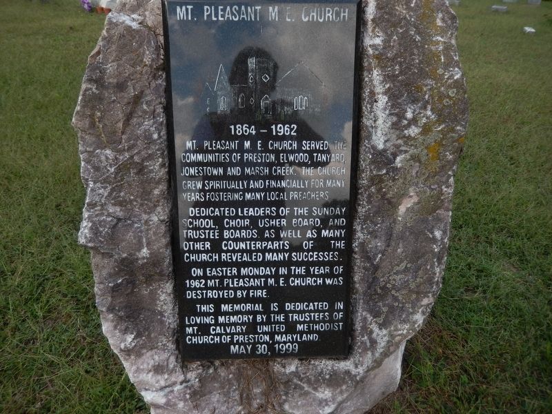
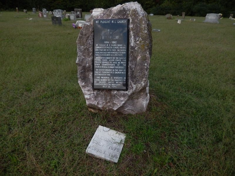
Mt. Pleasant M. E. Church
1864 - 1962
Mt. Pleasant M. E. Church served the communities of Preston, Elwood, Tanyard, Jonestown and Marsh Creek. The church grew spiritually and financially for many years fostering many local preachers.
Dedicated leaders of the Sunday School, choir, usher board, and trustee boards, as well as many other counterparts of the church revealed many successes.
On Easter Monday in the year of 1962 Mt. Pleasant M. E. Church was destroyed by fire.
This memorial is dedicated in loving memory by the trustees of Mt. Calvary United Methodist Church of Preston, Maryland.
Erected 1999.
Topics. This historical marker is listed in this topic list: Churches & Religion. A significant historical year for this entry is 1864.
Location. 38° 43.24′ N, 75° 55.565′ W. Marker is in Preston, Maryland, in Caroline County. Marker is on Marsh Creek Road. Marker is in Mt. Pleasant Cemetery. Touch for map. Marker is in this post office area: Preston MD 21655, United States of America. Touch for directions.
Other nearby markers. At least 8 other markers are within 3 miles of this marker, measured as the crow flies. Mt. Pleasant Cemetery (a few steps from this marker); Site of Frazier’s Chapel (approx. 1.1 miles away); Preston (approx. 1.1 miles away); Linchester Mill (approx. 2 miles away); The Underground Railroad (approx. 2 miles away); Linchester (approx. 2.1 miles away); a different marker also named Linchester Mill (approx. 2.1 miles away); Leverton House (approx. 2.2 miles away). Touch for a list and map of all markers in Preston.
Credits. This page was last revised on March 3, 2022. It was originally submitted on October 6, 2016, by Bill Pfingsten of Bel Air, Maryland. This page has been viewed 381 times since then and 15 times this year. Photos: 1, 2, 3. submitted on October 6, 2016, by Bill Pfingsten of Bel Air, Maryland.


