Donalsonville in Seminole County, Georgia — The American South (South Atlantic)
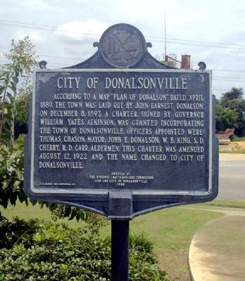
City of Donalsonville
Erected 1980 by Historic Chattahoochee Commission and the City of Donalsonville.
Topics. This historical marker is listed in these topic lists: Political Subdivisions • Settlements & Settlers. A significant historical year for this entry is 1889.
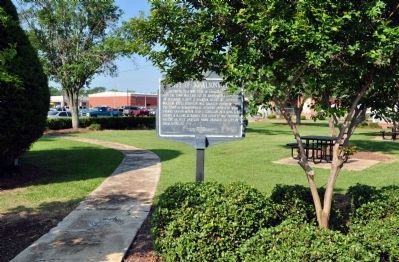
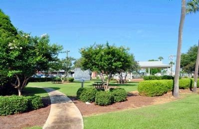
Location. 31° 2.562′ N, 84° 52.966′ W. Marker is in Donalsonville, Georgia, in Seminole County. Marker is on S. Wiley Street, 0 miles south of 1st Street, on the right when traveling south. Touch for map. Marker is in this post office area: Donalsonville GA 39845, United States of America. Touch for directions.
Other nearby markers. At least 8 other markers are within 13 miles of this marker, measured as the crow flies. Seminole County (about 600 feet away, measured in a direct line); Seminole County Vietnam War Memorial (about 600 feet away); Korean Conflict "The Forgotten War" (about 600 feet away); Seminole County World War II Memorial (about 600 feet away); Ekanachatte or "Red Ground" (approx. 8.8 miles away in Florida); Confederate Navy Yard, Saffold (approx. 10 miles away); Brinson / Simeon Brinson (approx. 10.2 miles away); Veterans (approx. 12˝ miles away). Touch for a list and map of all markers in Donalsonville.
Credits. This page was last revised on June 16, 2016. It was originally submitted on August 3, 2008, by David Seibert of Sandy Springs, Georgia. This page has been viewed 1,303 times since then and 25 times this year. Photos: 1. submitted on August 3, 2008, by David Seibert of Sandy Springs, Georgia. 2, 3. submitted on June 4, 2012, by David Seibert of Sandy Springs, Georgia. • Kevin W. was the editor who published this page.


