Middletown in Middlesex County, Connecticut — The American Northeast (New England)
Middletown in the 1900s
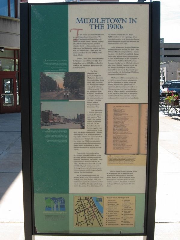
The 20 century transformed Middletown as completely as the previous one had. The stream of immigrants that began in the mid-1800s now became a flood. Between 1900 and 1910, Middletown's population grew from 17,464 to 21,000 – a 20 percent increase. By 1940, one of five Middletown residents had been born in a foreign country. Many of the new arrivals came from the town of Melilli, on the island of Sicily.
After the United States entered World War I, Middletown sent 1,500 men to fight. They included the sons of old Middletown families, as well as new immigrants. Thirty-seven died in military service.
The Great Depression was a period of struggle for Middletown. Economic blows included the closing of two major employers: the Remington-Rand typewriter plant, following a 1936 strike; and in 1941 the Middletown Silver Company. A bright spot during that dark era was the construction between 1936 and 1938 of the graceful Arrigoni Bridge crossing the Connecticut River.
From Middletown 3,700 men and women marched off to defend their country in World War II. One hundred and one of them gave their lives. On the home front, the city's factories supplied materials essential to the war effort. The Russell Manufacturing Company alone employed 5,000 workers making military supplies. Women who had never worked outside the home filled jobs left vacant by men gone to war. Middletown's dwindling African-American population now increased sharply as black workers from the South arrived to help relieve the shortage of factory workers.
An economic downturn throughout the Northeast followed World War II, forcing the closing of several long-time Middletown employers. Nevertheless, Middletown's downtown commercial district flourished in the 1950s. Main Street was lined with cars and crowded with people coming to the movie theaters, grocery stores, bakeries, department stores, restaurants, specialty shops, and public buildings that filled the district.
But the automobile's popularity was changing the face of the city's downtown. Many buildings, some dating from the 1700s, were razed to make way for the construction of Route 9 in the early 1950s. The highway, built along side the Connecticut River, effectively cut off the city from the waterway that had shaped Middletown from its very beginnings. Urban renewal also resulted in the destruction of several historic landmarks including the 1893 town hall with its distinctive clock tower.
As the 20th century advanced, Middletown found new resources of energy and vision. Pratt & Whitney Manufacturing established a plant in the city in 1966. In 1983, Aetna Life & Casualty built a major facility in the northwestern corner of town, Middletown got its first "skyscraper" in 1989 when the Middlesex Mutual Assurance Company, founded here in 1836, built a 14-story office tower. Wesleyan University grew in size and prestige, becoming one of the nation's premier liberal arts schools. Educational opportunity expanded with the founding of Middlesex Community College in 1969.
Middletown at 350 is a cosmopolitan city of 45,000, a center of business and education. The city continues to be notable for the rich diversity of its residents: approximately 10 percent are African American, one-sixth are of Polish ancestry, and one fourth identify themselves as Italian by ancestry, with strong ties to Melill. The most recent waves of immigration reflected by the three percent of Hispanic residents, and two percent who are Asian Pacific.
In 1650, English pioneers arrived at the site in the wilderness that the Wangunks called Mattabeseck, seeking a place to make their homes. As the 21st century progresses, people from across the nation and around the world continue to come to Middletown, as they have for the past 350 years, in pursuit of that same dream.
In 1907, Middletown’s Main Street, unpaved and lined with trees, was quiet enough for two young boys to loiter in. The city boasted only a few automobiles as yet; traffic consisted of horse drawn carts and carriages, bicycles, and a trolley. The clock tower of the 1893 City Hall is in the distance.
- Postcard, c.1907 Courtesy of the Middlesex County Historical Society
Hundreds of cars and throngs of shoppers proclaimed that Middletown’s Main Street was the place to be in the fifties. From the corner of Main and Washington streets, you could shop at Kresge’s, Woolworth’s, Camp’s and Wrubel’s, then cross the street to First National and J.C. Penny. Just a short walk down the street, you could take in the new Kirk Douglas movie at the Capitol Theater, window shop at Clark & True jewelers, grab a cheeseburger at Bill’s Lunch, and have your hair colored at the Duchess Beauty Shop.
- Postcard, c.1958 Courtesy of the Middlesex County Historical Society
Erected by the Middlesex County Historical Society.
Topics. This historical marker is listed in this topic list: Settlements & Settlers.
Location. 41° 33.61′ N, 72° 38.943′ W. Marker is in Middletown, Connecticut, in Middlesex County. Marker is at the intersection of Main Street and Court Street, on the right when traveling north on Main Street. Touch for map. Marker is at or near this postal address: 100 Main Street, Middletown CT 06457, United States of America. Touch for directions.
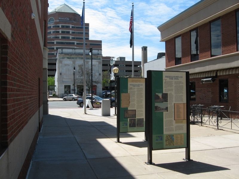
Other nearby markers. At least 8 other markers are within walking distance of this marker. Middletown in the 1800s (here, next to this marker); Middletown in the 1700s (here, next to this marker); Middletown in the 1600s (here, next to this marker); Bigelow Tavern (a few steps from this marker); Middletown and the Connecticut River (about 600 feet away, measured in a direct line); Old City Hall Bell (about 700 feet away); Russell Library (approx. 0.2 miles away); The UNESCO Slave Route Project (approx. 0.2 miles away). Touch for a list and map of all markers in Middletown.
More about this marker. Weather has affected the clarity of the text and pictures. The Middlesex County Historical Society generously aided in transcribing this marker.
Credits. This page was last revised on November 14, 2020. It was originally submitted on October 10, 2016, by Michael Herrick of Southbury, Connecticut. This page has been viewed 508 times since then and 75 times this year. Photos: 1, 2. submitted on October 10, 2016, by Michael Herrick of Southbury, Connecticut.

