Beltsville in Prince George's County, Maryland — The American Northeast (Mid-Atlantic)
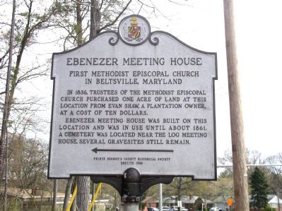
Ebenezer Meeting House
First Methodist Episcopal Church in Beltsville, Maryland
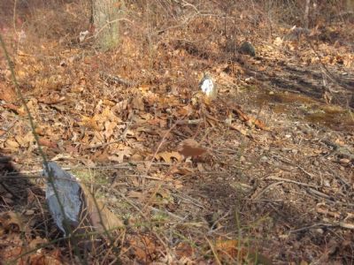
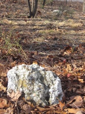
Ebenezer Meeting House was built on this location and was in use until about 1861. A cemetery was located near the log meeting house. Several gravesites still remain.
Erected 1986 by the Prince George’s County Historical Society.
Topics. This historical marker is listed in this topic list: Churches & Religion. A significant historical year for this entry is 1836.
Location. 39° 3.054′ N, 76° 55.356′ W. Marker is in Beltsville, Maryland, in Prince George's County. Marker is at the intersection of Old Gunpowder Road and Powdermill Road (Maryland Route 212), on the right when traveling north on Old Gunpowder Road. Touch for map. Marker is in this post office area: Beltsville MD 20705, United States of America. Touch for directions.
Other nearby markers. At least 8 other markers are within 3 miles of this marker, measured as the crow flies. Van Horn’s Tavern (approx. 1.4 miles away); Site of Van Horn's Tavern (approx. 1½ miles away); Lee Family Cemetery (approx. 1.7 miles away); Beltsville Agricultural Research Center - West (approx. 1.7 miles away); Brown’s Tavern (approx. 1.9 miles away); Site of Rhodes’ Tavern (approx. 1.9 miles away); Queen’s Chapel Methodist Church, Established 1868 (approx. 2½ miles away); When the Iron was Hot: African American Ironworkers of Muirkirk (approx. 2.7 miles away). Touch for a list and map of all markers in Beltsville.
Credits. This page was last revised on February 8, 2020. It was originally submitted on April 14, 2007, by Dudeindacorner of Laurel, Maryland. This page has been viewed 2,730 times since then and 38 times this year. Last updated on October 19, 2016. Photos: 1. submitted on April 14, 2007, by Dudeindacorner of Laurel, Maryland. 2, 3. submitted on February 10, 2008, by F. Robby of Baltimore, Maryland. • Bill Pfingsten was the editor who published this page.


