Troy Hill in Pittsburgh in Allegheny County, Pennsylvania — The American Northeast (Mid-Atlantic)
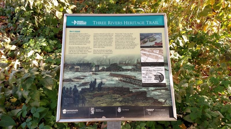
Herr's Island
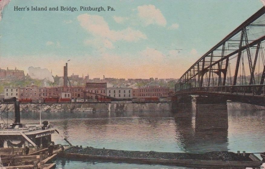
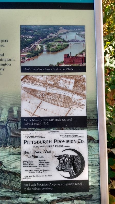
After the Civil War, lumber and oil industries took advantage of the island location for oil refineries and saw mills. By the early 1900s, Herr's Island changed again due to legislation requiring railroads to provide a rest stop for animals traveling from Midwest to the East Coast. Onto the island moved a large stockyard followed by meat packing plants, a sawmill, fertilizer works, a railroad salvage yard, and the city garbage dump. Garbage and refuse were piled so high the railroads had to elevate their bridges.
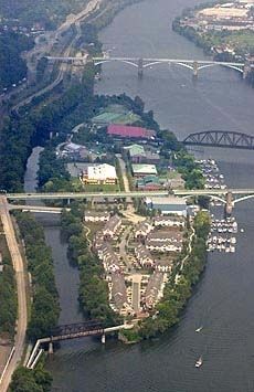
After the stockyards and garbage dumps closed in the 1970s, Herr's Island was left as a contaminated "brown field." Today, the island symbolizes the City's ability to transform and old industrial site into a beautiful community and park. Century-old iron and steel railroad bridges remain to commemorate the industrial past. The new island development site is named Washington's Landing to honor George Washington who spent a night here after nearly drowning in the icy river in 1753.
Erected by Friends of Riverfront, Pennsylvania DCNR, Steel Industry Heritage Corporation, City of Pittsburgh, Piranha Sports.
Topics. This historical marker is listed in these topic lists: Bridges & Viaducts • Industry & Commerce • Railroads & Streetcars. A significant historical year for this entry is 1753.
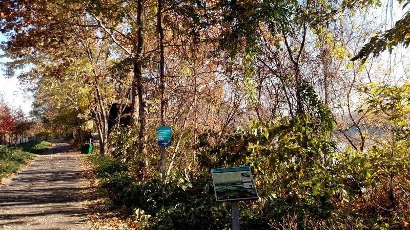
Location. 40° 27.579′ N, 79° 58.967′ W. Marker is in Pittsburgh, Pennsylvania, in Allegheny County. It is in Troy Hill. Marker can be reached from Three Rivers Heritage Trail. Marker is located just west of the entrance of the pedestrian bridge to Herr's Island. Touch for map. Marker is in this post office area: Pittsburgh PA 15212, United States of America. Touch for directions.
Other nearby markers. At least 8 other markers are within walking distance of this marker. The Thomas Carlin's Sons Foundry (approx. 0.2 miles away); St. Nicholas Roman Catholic Croatian Church, North Side (approx. 0.2 miles away); Our Lady of Lourdes Grotto (approx. 0.2 miles away); St. Nicholas Church (approx. 0.2 miles away); Mala Jaska (approx. 0.2 miles away); St. Nicholas Church and Mala Jaska (approx. ¼ mile away); Troy Hill Incline (approx. 0.3 miles away); Troy Hill Fire Station #39 (approx. 0.4 miles away). Touch for a list and map of all markers in Pittsburgh.
Also see . . . Washington's Landing. RiverLife.org (Submitted on November 14, 2016, by Mike Wintermantel of Pittsburgh, Pennsylvania.)
Photographed By Mike Wintermantel, November 14, 2016
2. Herr's Island Marker Photos
top photo caption
Herr's Island as a brown field in the 1970s
middle photo caption
Herr's Island covered with stock pens and railroad tracks, 1910
lower photo caption
Pittsburgh Provision Company was jointly owned by the railroad company
Herr's Island as a brown field in the 1970s
middle photo caption
Herr's Island covered with stock pens and railroad tracks, 1910
lower photo caption
Pittsburgh Provision Company was jointly owned by the railroad company
Credits. This page was last revised on February 2, 2023. It was originally submitted on November 14, 2016, by Mike Wintermantel of Pittsburgh, Pennsylvania. This page has been viewed 1,163 times since then and 94 times this year. Photos: 1, 2, 3, 4. submitted on November 14, 2016, by Mike Wintermantel of Pittsburgh, Pennsylvania. 5. submitted on November 14, 2016.
