Lexington First County Seat
Side 1
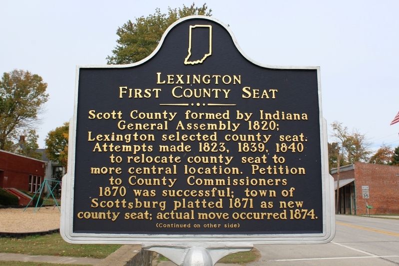
Scott County formed by Indiana General Assembly 1820; Lexington selected county seat. Attempts made 1823, 1839, 1840 to relocate county seat to more central location. Petition to County Commissioners 1870 was successful; town of Scottsburg platted 1871 as new county seat; actual move occurred 1874.
Side 2
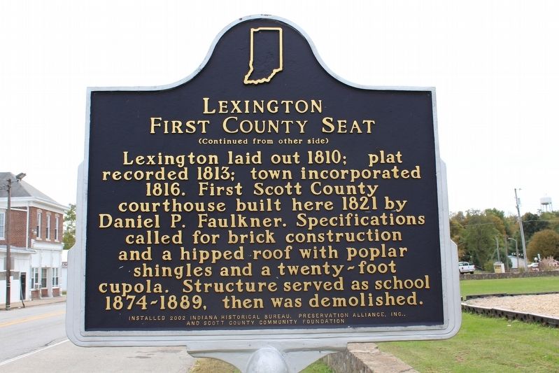
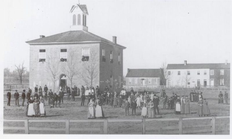
Lexington laid out 1810; plat recorded 1813; town incorporated 1816. First Scott County courthouse built here 1821 by Daniel P. Falkner. Specifications called for brick construction and a hipped roof with poplar shingles and a twenty-foot cupola. Structure served as school 1874-1889, then was demolished.
Erected 2002.
Topics. This historical marker is listed in this topic list: Settlements & Settlers. A significant historical year for this entry is 1810.
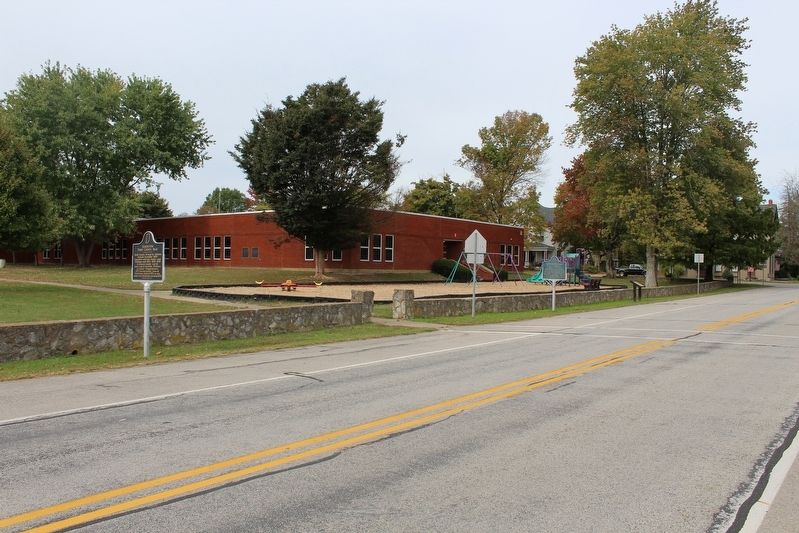
Location. 38° 39.171′ N, 85° 37.546′ W. Marker is in Lexington, Indiana, in Scott County. Marker is on Cherry Street (State Road 203), on the left when traveling north. Touch for map. Marker is in this post office area: Lexington IN 47138, United States of America. Touch for directions.
Other nearby markers. At least 8 other markers are within 8 miles of this marker, measured as the crow flies. A Night in a Hotel (a few steps from this marker); Morgan's Raid (within shouting distance of this marker); Site of Western Eagle (about 600 feet away, measured in a
Credits. This page was last revised on November 23, 2016. It was originally submitted on November 19, 2016, by Tom Bosse of Jefferson City, Tennessee. This page has been viewed 236 times since then and 10 times this year. Photos: 1, 2, 3, 4. submitted on November 19, 2016, by Tom Bosse of Jefferson City, Tennessee. • Bill Pfingsten was the editor who published this page.


