4 entries match your criteria.
Related Historical Markers
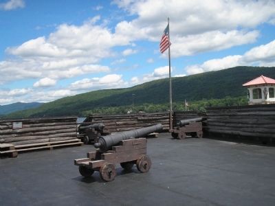
View the markers of the four bastions in Fort William Henry.
By Bill Coughlin, July 10, 2008
Marker in Fort William Henry
SHOWN IN SOURCE-SPECIFIED ORDER
| Near Beach Road, on the right when traveling east. |
| | This was the flagstaff bastion. During the early days of the bombardment, a French projectile severed a pulley on one of the poles, causing the English flag to fall. One of the carpenters rushed to repair the damage, but as he climbed the pole, had . . . — — Map (db m15801) HM |
| Near Beach Road, on the right when traveling east. |
| | This bastion suffered the heaviest damage from Montcalm’s artillery. Here a howitzer shell landed on an ammunition box killing or wounding 16, including a "provincial Officer who was never heard of but part of his coat was found." Each night the . . . — — Map (db m15802) HM |
| Near Beach Road, on the right when traveling east. |
| | You are looking at the general area of the cemetery which encompassed most of the parking area and extended across Canada Street. Many soldiers died from wounds inflicted during battle, but most deaths were related to infection and disease. In 1842, . . . — — Map (db m15805) HM |
| Near Beach Road, on the right when traveling east. |
| | The original entrance to the fort was under this bastion. A road led to it from the vicinity of the old Railroad Station and Steamboat dock. About a quarter mile away, the rising hill of tall pines marks the site of the Battle of Lake George. This . . . — — Map (db m15806) HM |
Jun. 15, 2024