3 entries match your criteria.
Related Historical Markers
To better understand the relationship, study each marker shown.
By Craig Swain, May 29, 2010
Coal in Tioga County Marker
SHOWN IN SOURCE-SPECIFIED ORDER
| On South Williamson Road at Gulick Street on South Williamson Road. |
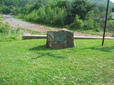
| | This tablet commemorates the discovery of Coal in Tioga County in 1792 — — Map (db m33179) HM |
| On South Main Street (Business U.S. 15) at Dorsett Drive, on the right when traveling south on South Main Street. |
| | One of the early railroads in the Northeast was completed in 1840 from Corning, N.Y. to Blossburg. It was built by the Tioga Navigation Company to connect the Chemung Canal, and the Erie Railroad, with the local coal fields. — — Map (db m14301) HM |
| On North Williamson Road (Business U.S. 15) 0.7 miles north of South Williamson Road, on the right when traveling north. Reported missing. |
| | While acting as scouts for the Williamson Road party in 1792, Robert and Benjamin Patterson discovered coal at present-day Blossburg. The first drift to mine the coal was opened on Bear Creek by David Clemons about 1815. — — Map (db m73097) HM |
Jun. 16, 2024