4 entries match your criteria.
Related Historical Markers
St. Augustine National Cemetery
Library of Congress
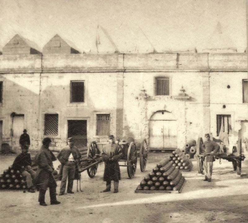
Marker detail: Fort Marion, c. 1863
SHOWN IN SOURCE-SPECIFIED ORDER
| On Marine Street, 0.1 miles south of St. Francis Street, on the right when traveling south. |
| On Marine Street, 0.1 miles south of St. Francis Street, on the right when traveling south. |
| On Marine Street north of San Salvador Street (Road 0), on the left when traveling north. |
| Near Marine Street north of San Salvador Street, on the left when traveling north. |
Jun. 1, 2024