10 entries match your criteria.
Related Historical Markers
To better understand the relationship, study each marker in the order shown.
By Paul Crumlish, April 4, 2010
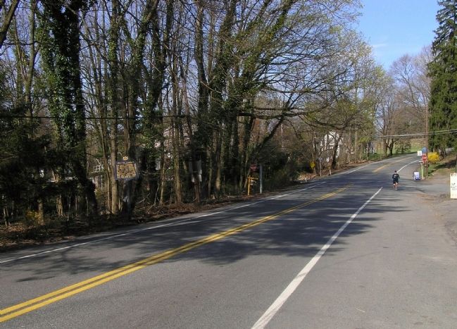
Wide view of the Sullivan Campaign Marker
SHOWN IN SOURCE-SPECIFIED ORDER
| On Knox Avenue (Pennsylvania Route 2025) 0 miles west of Sullivan Trail, on the left when traveling north. |
| On Knox Avenue at Sullivan Trail, on the right when traveling north on Knox Avenue. |
| On South Broadway (Pennsylvania Route 512) 0.3 miles north of Male Road (County Road 1028), on the left when traveling north. |
| On North Front Street (State Highway 147), on the right when traveling north. |
| On River Street near South Street. |
| On River Street near South Street, on the right when traveling south. |
| On U.S. 20 at Gravel Road (County Route 101), on the left when traveling north on U.S. 20. |
| On Kingdom Plaza (U.S. 20) 0.1 miles west of Balsey Road, on the right when traveling east. |
| On West Main Street (U.S. 20) 0.1 miles west of Park Place, on the right when traveling west. |
| On U.S. 20, 0.1 miles west of Park Place, on the right when traveling west. |
Jun. 17, 2024