4 entries match your criteria.
Related Historical Markers
To better understand the relationship, study each marker shown.
By Paul Crumlish, May 8, 2010
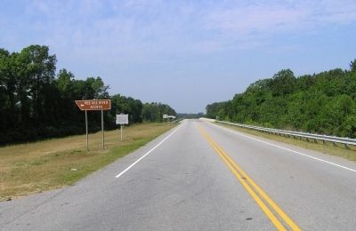
Wide view of the Welsh Neck Settlement Marker
SHOWN IN SOURCE-SPECIFIED ORDER
| On U.S. 15 at Kolb's Tomb Road/River Landing Road (County Road 461), on the left when traveling south on U.S. 15. |
| On U.S. 15 at Kolb's Tomb Road/River Landing Road (County Route 167) when traveling south on U.S. 15. |
| On Old State Highway 38 at Allen Ridge Road (County Road 99), on the left when traveling south on State Highway 38. |
| On Screw Pin Road (County Road 18) at River Road (County Road 44), on the left when traveling west on Screw Pin Road. |
Jun. 1, 2024