3 entries match your criteria.
Related Historical Markers
By Franklin Bell, February 3, 2008
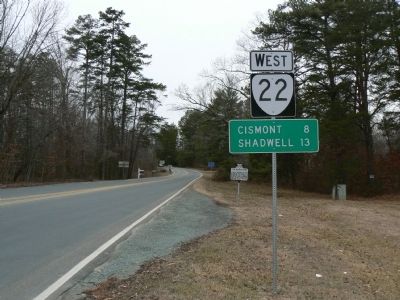
Looking West along The Marquis Road
SHOWN IN SOURCE-SPECIFIED ORDER
| | Lafayette reopened this road in June, 1781, when moving south to intervene between Cornwallis and military stores in Albemarle County. The road has been ever since known as "The Marquis Road." — — Map (db m5386) HM |
| | Lafayette, moving west to protect stores in Albemarle from Tarleton, passed near here, June, 1871. — — Map (db m17749) HM |
| | Also called Three Chopt Road, this colonial route ran from Richmond to the Shenandoah Valley. It likely took its name from three notches cut into trees to blaze the trail. A major east-west route across central Virginia from the 1730s, it was . . . — — Map (db m5576) HM |
May. 10, 2024