4 entries match your criteria.
Related Historical Markers
Additional markers on and about the Wisconsin Military Road.
By Gordon Govier, January 20, 2005
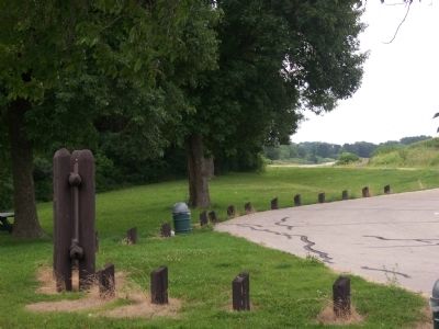
Military Road Highway View
SHOWN IN SOURCE-SPECIFIED ORDER
| | You are traveling the route of the Old Military Road, built in 1835-36, to connect Fort Crawford at Prairie du Chien and Fort Howard at Green Bay, via Fort Winnebago at "The Portage" between the Fox-Wisconsin rivers. The section from Prairie du . . . — — Map (db m36908) HM |
| | Fort Howard, Green Bay
to Fort Crawford, Prairie du Chien
— — Map (db m36004) HM |
| | The Old Military Road From Fort Howard on Green Bay to Fort Crawford at Prairie du Chien, 1835. — — Map (db m36005) HM |
| | The Military Road, built in 1835, became the first highway to cross the state. Congress appropriated $5,000 to connect the St. Lawrence and Mississippi River basins.
The troops at Fort Crawford constructed the road from Prairie du Chien to . . . — — Map (db m46182) HM |
May. 5, 2024