Holton in Jackson County, Kansas — The American Midwest (Upper Plains)
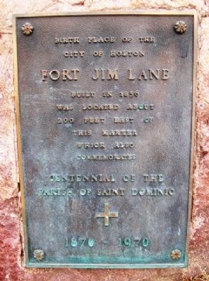
Fort Jim Lane
City of Holton
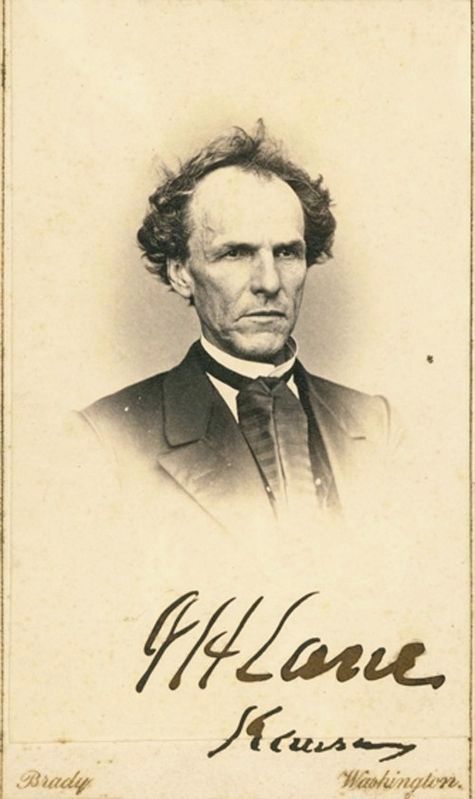
Fort Jim Lane
Built in 1856
Was located about 200 feet east of
this marker which also commemorates
Centennial of the
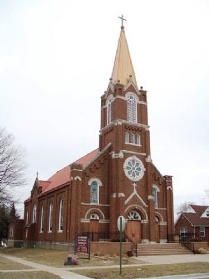
Parish of Saint Dominic
1870 - 1970
Erected 1970 by Parish of Saint Dominic.
Topics. This historical marker is listed in these topic lists: Churches & Religion • Forts and Castles • Settlements & Settlers. A significant historical year for this entry is 1856.
Location. 39° 27.883′ N, 95° 43.988′ W. Marker is in Holton, Kansas, in Jackson County. Marker is at the intersection of 5th Street and Ohio Avenue, on the right when traveling east on 5th Street. Touch for map. Marker is at or near this postal address: 416 Ohio Avenue, Holton KS 66436, United States of America. Touch for directions.
Other nearby markers. At least 8 other markers are within 13 miles of this marker, measured as the crow flies. Edward D. Holton (about 400 feet away, measured in a direct line); Jackson County Courthouse Horse Water Trough (about 500 feet away); Civil War Memorial (approx. 0.2 miles away); Company E, 137th Infantry Regt, 35th Infantry Div (approx. 0.3 miles away); Livestock Water Trough (approx. 0.4 miles away); Battle of the Spurs (approx. 7 miles away); The Wetmore Calaboose (approx. 12.4 miles away); Don Clarence Rising (approx. 12.7 miles away). Touch for a list and map of all markers in Holton.
Related marker. Click here for another marker that is related to this marker.
Also see . . .
1. St. Dominic Historical Journey. Jackson County (KS) Catholic Community entry (Submitted on March 23, 2013, by William Fischer, Jr. of Scranton, Pennsylvania.)
2. History of Holton, Kansas. City webpage (Submitted on March 23, 2013, by William Fischer, Jr. of Scranton, Pennsylvania.)
3. James Henry Lane. Kansapedia entry (Submitted on March 23, 2013, by William Fischer, Jr. of Scranton, Pennsylvania.)
Credits. This page was last revised on January 21, 2021. It was originally submitted on March 23, 2013, by William Fischer, Jr. of Scranton, Pennsylvania. This page has been viewed 687 times since then and 13 times this year. Photos: 1, 2. submitted on March 23, 2013, by William Fischer, Jr. of Scranton, Pennsylvania. 3. submitted on January 21, 2021, by Larry Gertner of New York, New York.


