2 entries match your criteria.
Related Historical Markers
By Mark Hilton, May 11, 2015
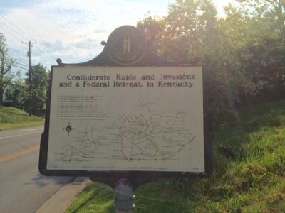
Raid and retreat map on reverse of marker.
SHOWN IN SOURCE-SPECIFIED ORDER
| 1 ► Kentucky, Montgomery County, Mount Sterling — 629 — Battle-June 9, 1864 — |
| CSA took Mt. Sterling on previous day. Early on 9th US forces under General S. G. Burbridge attacked CSA under Col. R. M. Martin camped on Camargo Pike. Col. H. L. Giltner brought CSA force from Levee Road, but both driven through city. CSA . . . — — Map (db m83485) HM | |||
| 2 ► Kentucky, Montgomery County, Mount Sterling — 1331 — Civil War Robbery / Bank Sues — |
| Civil War Robbery In this building is the Farmers Bank vault, which was robbed of $60,000 as "Morgan's Raiders" were on their last raid through Kentucky. Late the night of June 8, 1864, several of Morgan's men went to the house of J. O. . . . — — Map (db m83483) HM | |||