The Order of the Teutonic Knights settled here during the Crusader Period (12th-13th centuries CE). The Order built the Church of St. Mary and a hospital, which were destroyed; and St. Mary's Hospice of the German Knights, whose ruins you see before . . . — — Map (db m220119) HM
Until the sixteenth century, the "Ramban" was the main synagogue, where members of all denominations prayed together. Its closure at the end of that century is probably the point at which the various streams dispersed. The Sephardi Jews organized in . . . — — Map (db m219150) HM
The Crusaders built a roofed market on the remnants of the Byzantine Cardo. In the ensuing years, the vaulted ceilings became the cellars of buildings above. The market was renovated after the Six Day War (1967).
Photo caption: Capital of a . . . — — Map (db m220120) HM
In the mid-19th century, the waves of Jewish immigration increased, and the Ashkenazi community grew rapidly. On September 25, 1864, the great Hurva synagogue was inaugurated in an inspiring ceremony Just in time for the High Holidays. Ceremony . . . — — Map (db m219118) HM
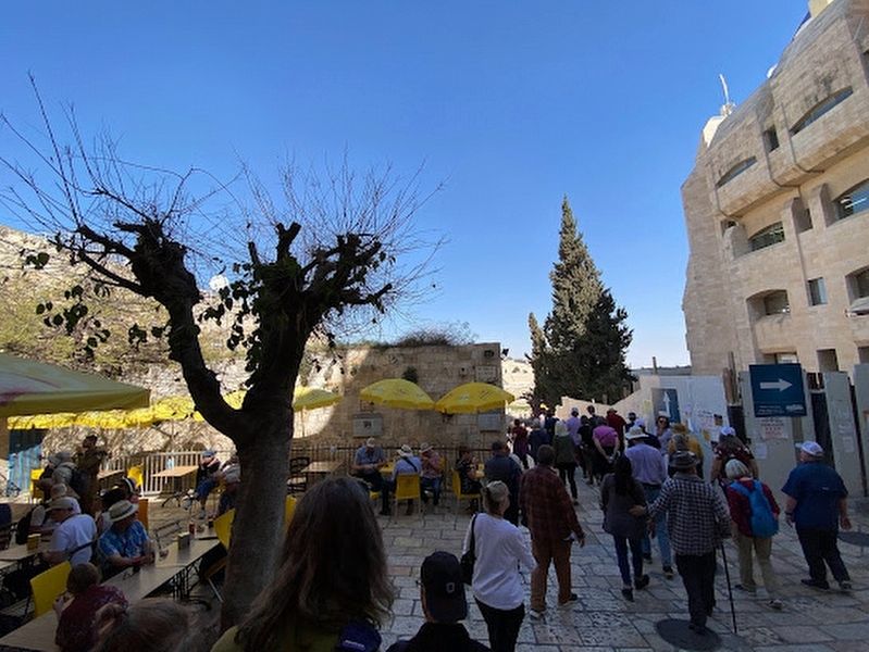
You are facing the remains of a lower aqueduct originally built in the Hasmonean period. During the second temple period the need to bring water to Jerusalem increased. This serpentine aqueduct was 21 km (13.5 miles) long; it began, at Solomon's . . . — — Map (db m219171) HM
Remains of a magnificent main road from the Roman-Byzantine period serving throughout time until today as a major thoroughfare for shopping.
(Arabic and Hebrew text not transcribed) — — Map (db m219069) HM
106 entries matched your criteria. Entries 101 through 106 are listed above. ⊲ Previous 100