Taylor in Williamson County, Texas — The American South (West South Central)
James O. Rice
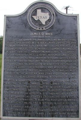
South Carolina-born James O. Rice migrated to Texas by 1835 and served in the Texas Army during the War for Independence. In early days of the Republic of Texas, he protected frontier settlements as part of a Texas Ranger company. On May 17, 1839, in command of a volunteer force clashing with Mexican troops led by Manuel Flores on the North San Gabriel River, Rice captured vitally important documents related to the Cordova Rebellion against the Republic of Texas. He joined the Somervell and Mier Expeditions of 1842 and the Snively Expedition of 1843. He also served in the Mexican War (1846-48). For military services, he received several bounties of land. When Williamson County was created in 1848, Rice was one of the commissioners named to select a site for the county seat. One of the county's largest landowners, Rice built his home on Brushy Creek about one mile west of here at a site then known as Blue Hill and later called Rice's Crossing. He ran a store and was postmaster of Blue Hill post office, 1849-57. For a short time, he had a tanyard in Georgetown. Rice married Nancy D. Gilliland (d. 1860), of an early Texas family. The couple had four daughters. Rice is buried in the Sneed Family Cemetery near Austin.
Erected 1977 by Texas Historical Commission. (Marker Number 9327.)
Topics. This historical marker is listed in these topic lists: Settlements & Settlers • War, Mexican-American • War, Texas Independence. A significant historical month for this entry is May 1863.
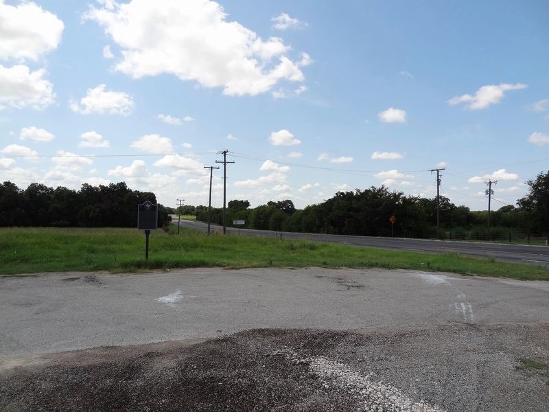
Location. 30° 28.791′ N, 97° 27.532′ W. Marker is in Taylor, Texas, in Williamson County. Marker is on N FM-973. Touch for map. Marker is in this post office area: Taylor TX 76574, United States of America. Touch for directions.
Other nearby markers. At least 8 other markers are within 5 miles of this marker, measured as the crow flies. Kimbro Family Cemetery (approx. 2.3 miles away); Norman's Crossing (approx. 2˝ miles away); M.B. Norman House (approx. 2.7 miles away); Saul Cemetery (approx. 3˝ miles away); Carlson (approx. 3.6 miles away); United States Senator Morgan C. Hamilton (approx. 4.3 miles away); St. Peters United Church of Christ (approx. 4.3 miles away); Battle of Brushy Creek (approx. 4.4 miles away). Touch for a list and map of all markers in Taylor.
Also see . . .
1. Rice's Crossing. Handbook of Texas website entry (Submitted on December 6, 2023, by Larry Gertner of New York, New York.)
2. James O. Rice. Handbook of Texas website entry (Submitted on December 6, 2023, by Larry Gertner of New York, New York.)
Credits. This page was last revised on December 6, 2023. It was originally submitted on December 23, 2007, by Keith Peterson of Cedar Park, Texas. This page has been viewed 2,329 times since then and 50 times this year. Last updated on August 1, 2014, by Tiji Biem of Austin, Texas. Photos: 1. submitted on December 23, 2007, by Keith Peterson of Cedar Park, Texas. 2. submitted on August 31, 2019, by Keith Peterson of Cedar Park, Texas. • Bernard Fisher was the editor who published this page.

