Marker Logo HMdb.org THE HISTORICAL
MARKER DATABASE
“Bite-Size Bits of Local, National, and Global History”
Results contain just this marker . . .
Grants in Cibola County, New Mexico — The American Mountains (Southwest)
 

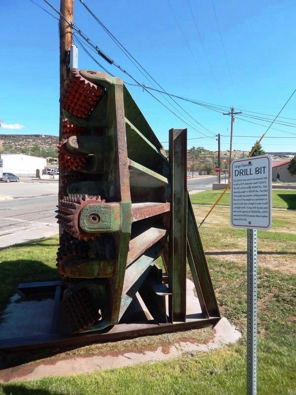
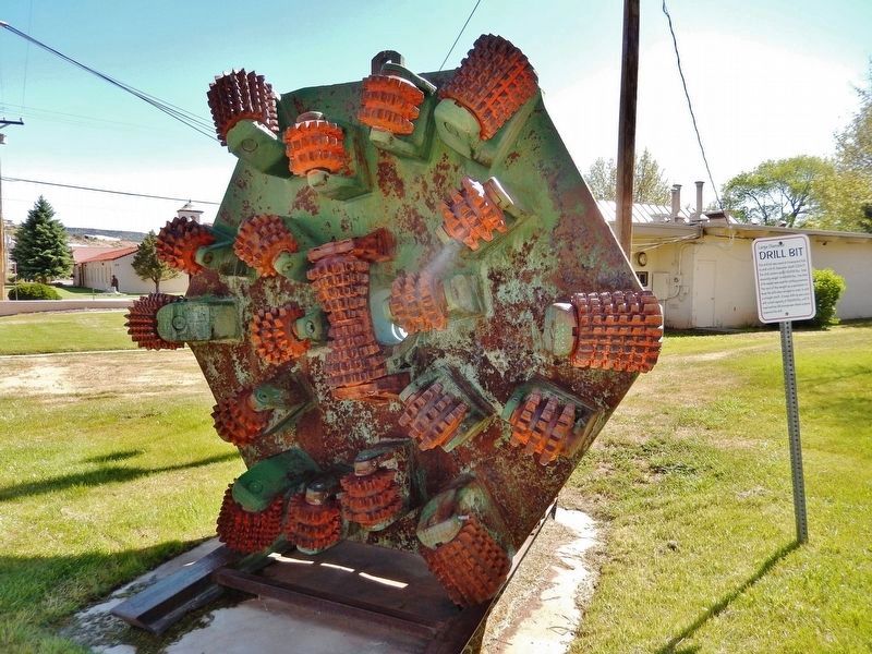
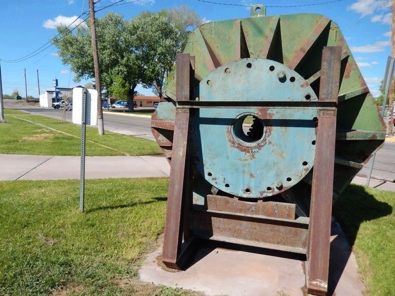
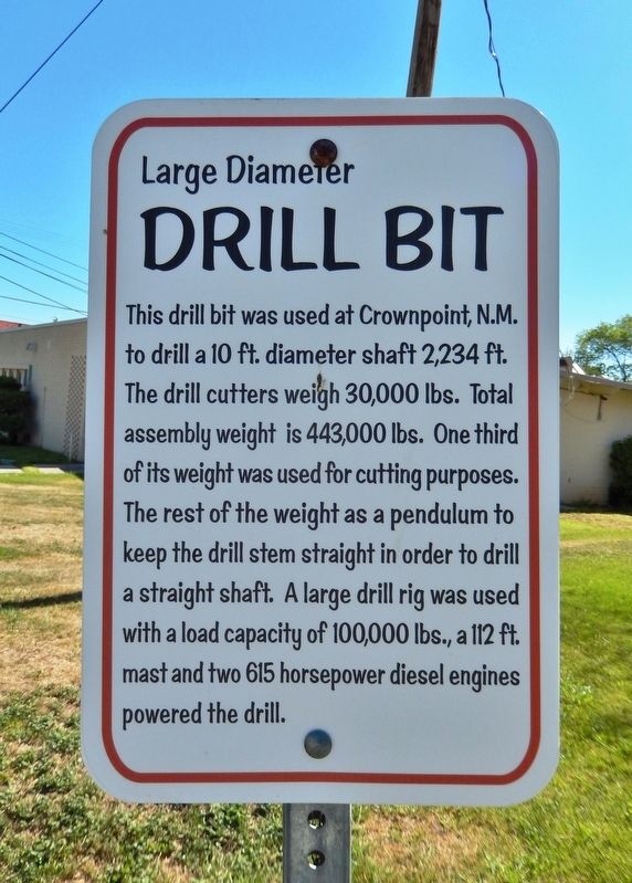
Large Diameter Drill Bit


Large Diameter Drill Bit Marker image. Click for full size.
Photographed By Cosmos Mariner, May 20, 2016
1. Large Diameter Drill Bit Marker
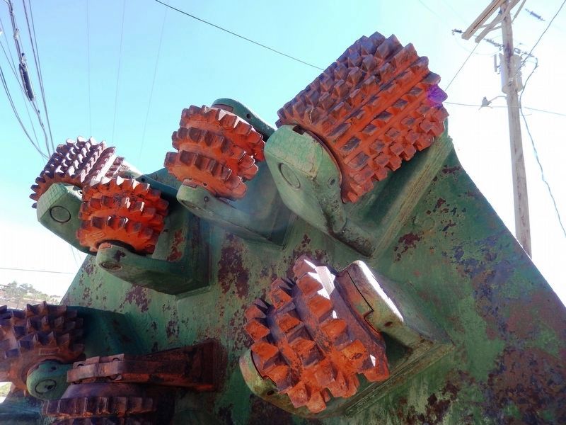
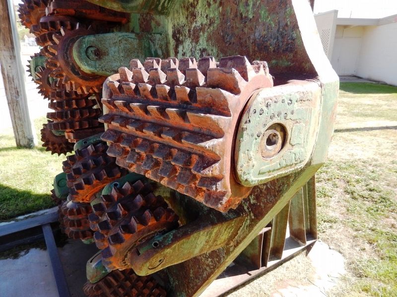
Inscription. This drill bit was used at Crownpoint N.M. to drill a 10 ft. diameter shaft 2,234 ft. The drill cutters weigh 30,000 lbs. Total assembly weight is 443,000 lbs. One third of its weight was used for cutting purposes. The rest of the weight as a pendulum to keep the drill stem straight in order to drill a straight shaft. A large drill rig was used with a load capacity of 100,000 lbs., a 112 ft. mast and two 615 horsepower diesel engines powered the drill.
 
Topics. This historical marker is listed in this topic list: Industry & Commerce.
 
Location. 35° 9.215′ N, 107° 51.291′ W. Marker is in Grants, New Mexico, in Cibola County. Marker is on Iron Avenue just north of U.S. 66, on the right when traveling north. Marker and subject drill bit are located beside the sidewalk, directly in front of the New Mexico Mining Museum. Touch for map. Marker is at or near this postal address: 100 Iron Avenue, Grants NM 87020, United States of America. Touch for directions.
 
Other nearby markers. At least 8 other markers are within 3 miles of this marker, measured as the crow flies. The Caboose (within shouting distance of this marker); One Ton Mine Car (within shouting distance of this marker); Mine Head Frame (within shouting distance of this marker); The Fannie Mine Hoisting Bucket (within shouting distance of this marker); Vietnam Veterans Memorial
Paid Advertisement
Click on the ad for more information.
Please report objectionable advertising to the Editor.
Click or scan to see
this page online
(approx. ¾ mile away); Grants (approx. 0.8 miles away); a different marker also named Grants (approx. 2.2 miles away); San Rafael (approx. 2.7 miles away). Touch for a list and map of all markers in Grants.
 
Also see . . .
1. Crownpoint Mine. The Crownpoint Mine is a uranium mine located in McKinley county, New Mexico at an elevation of 6,808 feet. (Submitted on January 6, 2021, by Cosmos Mariner of Cape Canaveral, Florida.) 

2. Proposed Crownpoint Uranium Mine. (Submitted on January 6, 2021, by Cosmos Mariner of Cape Canaveral, Florida.)
 
Large Diameter Drill Bit Marker image. Click for full size.
Photographed By Cosmos Mariner, May 20, 2016
2. Large Diameter Drill Bit Marker
Large Diameter Drill Bit image. Click for full size.
Photographed By Cosmos Mariner, May 20, 2016
3. Large Diameter Drill Bit
Large Diameter Drill Bit (<i>detail</i>) image. Click for full size.
Photographed By Cosmos Mariner, May 20, 2016
4. Large Diameter Drill Bit (detail)
Large Diameter Drill Bit (<i>detail</i>) image. Click for full size.
Photographed By Cosmos Mariner, May 20, 2016
5. Large Diameter Drill Bit (detail)
Large Diameter Drill Bit (<i>back</i>) image. Click for full size.
Photographed By Cosmos Mariner, May 20, 2016
6. Large Diameter Drill Bit (back)
(looking south • U.S. Route 66 in distant background)
 
 
Credits. This page was last revised on January 6, 2021. It was originally submitted on January 6, 2021, by Cosmos Mariner of Cape Canaveral, Florida. This page has been viewed 218 times since then and 36 times this year. Photos:   1, 2, 3, 4, 5, 6. submitted on January 6, 2021, by Cosmos Mariner of Cape Canaveral, Florida.
Share this page.  
Share on Tumblr
m=164162

CeraNet Cloud Computing sponsors the Historical Marker Database.
This website earns income from purchases you make after using our links to Amazon.com. We appreciate your support.
Paid Advertisement
May. 3, 2024