2 entries match your criteria.
Related Historical Markers
By Cosmos Mariner, May 30, 2014
Real County Marker (tall view)
SHOWN IN SOURCE-SPECIFIED ORDER
| 1 ► Texas, Real County, Leakey — 4211 — Real County — |
| Located on the Edwards Plateau, Real County is in an area of rolling terrain broken by the canyons of the Frio River. Because of raids by Comanche, Apache, and Lipan Apache Indians, white settlement was hindered until after 1881. Mission San . . . — — Map (db m240788) HM | |||
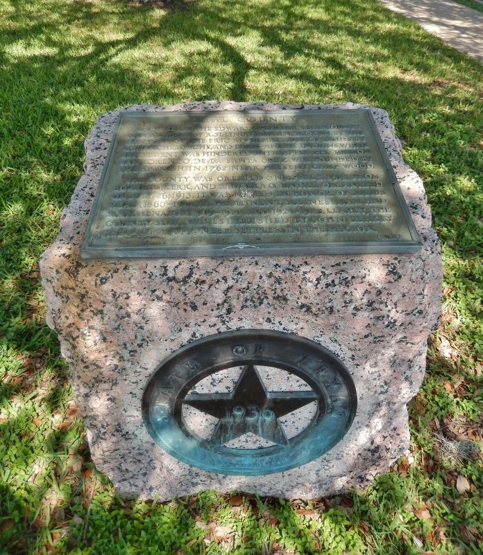
| 2 ► Texas, Real County, Leakey — 17266 — Real County — |
| The location of Real County lies at the southern edge of the Edwards Plateau along the Balcones Escarpment, an area of rugged mountains and canyons named for the Frio, Sabinal and Nueces Rivers. The county line between Edwards County and Bandera . . . — — Map (db m111321) HM | |||