3 entries match your criteria.
Related Historical Markers
By Cosmos Mariner, July 3, 2016
Marker detail: The West's First Trade Mission
SHOWN IN SOURCE-SPECIFIED ORDER
| On Devore Road north of 6th Street (U.S. 730), on the left when traveling north. |
| |
The Corps of Discovery descended the Columbia River in five dugout canoes made from pines felled at the mouth of the North Fork of the Clearwater River in Idaho.
Before McNary Dam harnessed this segment of the mighty Columbia, the river plunged . . . — — Map (db m114089) HM |
| On Devore Road north of 6th Street (U.S. 730), on the left when traveling north. |
| |
In 1804-06, Captains Meriwether Lewis and William Clark led about 40 soldiers and boatmen on an epic journey. President Thomas Jefferson commissioned this "Corps of Discovery" to find a route to the Pacific Ocean through the newly acquired . . . — — Map (db m114092) HM |
| Near U.S. 12 at 140th Street, on the right when traveling west. |
| |
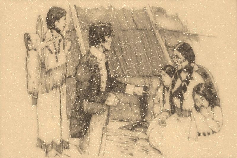
Guided by Twisted Hair and several other Nez Perce, Capt. William Clark selected this as a camp site because of the many large ponderosa pines that grew here then. The canoe makers chopped out small portions of the pine logs, then used fire or . . . — — Map (db m109875) HM |
May. 6, 2024