2 entries match your criteria.
Related Historical Markers
By Cynthia Hottinger, April 22, 2018
Madison-Barbour Rural Historic District Marker
SHOWN IN SOURCE-SPECIFIED ORDER
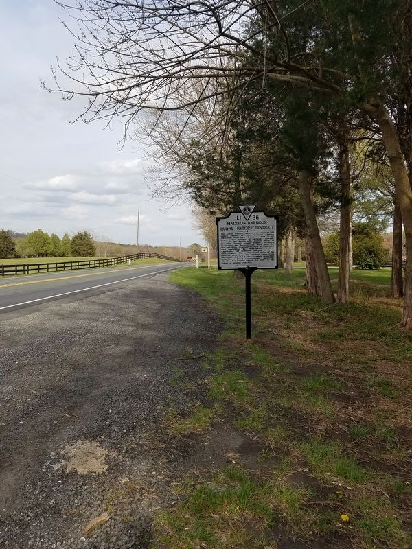
| On Spotswood Trail (U.S. 33) 0.5 miles west of Lovers Lane (Virginia Route 646), on the left when traveling west. |
| | This rural historic district encompasses 50 square miles of the Piedmont. Native Americans lived here for more than 12,000 years before settlers of European descent, drawn to the fertile soil, arrived early in the 1700s. Several notable houses, . . . — — Map (db m117220) HM |
| On Constitution Highway (Virginia Route 20) at Montpelier Road (County Route 693), on the right when traveling east on Constitution Highway. |
| | The Madison-Barbour Rural Historic District, encompassing 32,520 acres of the Piedmont, has been inhabited for more than 12,000 years and contains almost 200 identified prehistoric archaeological sites. Nearby was the likely location of Stegara, a . . . — — Map (db m117219) HM |
May. 6, 2024