Marker Logo HMdb.org THE HISTORICAL
MARKER DATABASE
“Bite-Size Bits of Local, National, and Global History”


2 entries match your criteria.  


Related Historical Markers

Ogallala Tri-Trails Park
 
Oregon Trail Marker (<i>wide view looking north through Tri-Trails Park; marker at center</i>) image, Touch for more information
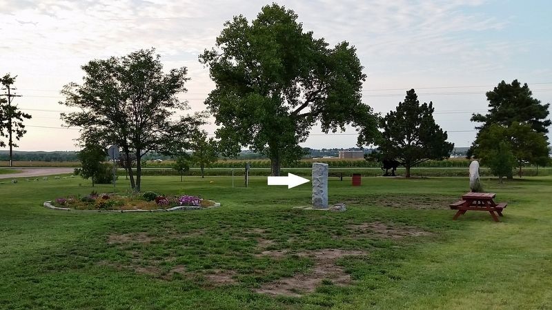
By Cosmos Mariner, August 11, 2017
Oregon Trail Marker (wide view looking north through Tri-Trails Park; marker at center)
SHOWN IN SOURCE-SPECIFIED ORDER
1 Nebraska, Keith County, Ogallala — Oregon Trail
On Lawrence Road at West Road 80, on the left when traveling north on Lawrence Road.
2 Nebraska, Keith County, Ogallala — Sand Hill Station
On Lawrence Road at West Road 80, on the left when traveling north on Lawrence Road.


CeraNet Cloud Computing sponsors the Historical Marker Database.
This website earns income from purchases you make after using our links to Amazon.com. We appreciate your support.
Paid Advertisement
May. 27, 2024