3 entries match your criteria.
Related Historical Markers
By Duane and Tracy Marsteller, May 10, 2020
Bledsoe's Fort Historical Park Marker
SHOWN IN SOURCE-SPECIFIED ORDER
| Near Hartsville Pike (State Highway 25) 0.1 miles west of Rock Springs Road, on the right when traveling west. |
| |
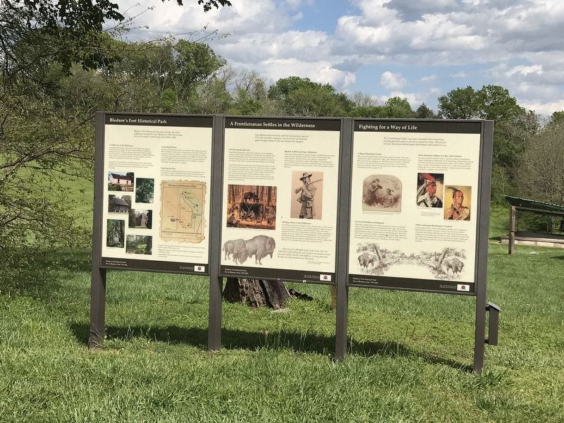
Bledsoe's Fort Historical Park preserves the site of the settlement founded by Isaac Bledsoe in 1780. The frontier fort was occupied continuously from 1783 to 1806.
A Settlement in the Wilderness
Isaac Bledsoe first came to this area . . . — — Map (db m149922) HM |
| Near Hartsville Pike (State Highway 25) 0.1 miles west of Rock Springs Road, on the right when traveling west. |
| | Isaac Bledsoe discovered the salt lick that bears his name in 1772. His and other explorers' reports of the rich land and game brought settlers to this area despite the dangers.
Discovering the Salt Lick
Isaac Bledsoe looked on a great . . . — — Map (db m149923) HM |
| Near Hartsville Pike (State Highway 25) 0.1 miles west of Rock Springs Road, on the right when traveling west. |
| | The Cumberland Valley was once a shared Native American hunting ground, open to all and occupied by none. The arrival of Euro-American settlers upset that balance and ended in war.
A Shared Hunting Ground
When the first long hunters . . . — — Map (db m149924) HM |
May. 21, 2024