2 entries match your criteria.
Related Historical Markers
By Tceng, April 9, 2012
The Forty Acres Marker and Property
SHOWN IN SOURCE-SPECIFIED ORDER
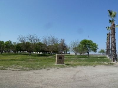
| 1 ► California, Kern County, Delano — The Forty Acres — |
| On Cesar Chavez Lane, 2.6 miles west of U.S. 99, on the right. | |||
| 2 ► California, Kern County, Keene — 1056 — Cesar E. Chavez National Monument — La Paz — Refuge — |
| Near Woodford-Tehachapi Road, 0.5 miles east of Keene, on the left when traveling east. | |||