8 entries match your criteria.
Related Historical Markers
By Cosmos Mariner, August 25, 2019
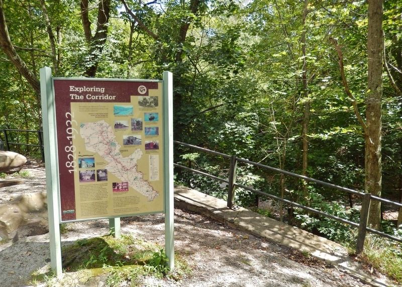
Exploring The Corridor Marker
SHOWN IN SOURCE-SPECIFIED ORDER
| 1 ► Pennsylvania, Carbon County, Jim Thorpe — Exploring The Corridor — 1828-1932 — |
| On Lehigh Gorge Trail, 1.7 miles west of Main Street, on the right when traveling north. | |||
| 2 ► Pennsylvania, Carbon County, Jim Thorpe — Exploring The Corridor — 1828-1932 — |
| Near Lehigh Avenue (U.S. 209) at Lehigh Gorge Trail. | |||
| 3 ► Pennsylvania, Carbon County, Lehighton — Exploring the Corridor — 1828 - 1932 — |
| On Sgt Stanley Hoffman Boulevard (U.S. 209) north of North Main Lane, on the right when traveling north. | |||
| 4 ► Pennsylvania, Carbon County, Weissport — Exploring the Corridor — Weissport Lehigh Canal Park — 1828 -1932 — |
| On Main Road. | |||
| 5 ► Pennsylvania, Lehigh County, Laurys Station, North Whitehall Township — Exploring the Corridor — 1828 - 1932 — |
| On River Drive (Pennsylvania Route 148) at River Drive, on the right when traveling north on River Drive. | |||
| 6 ► Pennsylvania, Luzerne County, Weatherly — Exploring the Corridor — 1828-1932 — |
| On Main Street. | |||
| 7 ► Pennsylvania, Luzerne County, White Haven — Exploring The Corridor — 1828-1932 — |
| Near Main Street south of Berwick Street (Pennsylvania Route 940) when traveling south. | |||
| 8 ► Pennsylvania, Northampton County, Easton — Exploring The Corridor — 1828 - 1932 — |