4 entries match your criteria.
Related Historical Markers
The John Jacob Astor Shipwreck
Courtesy Wisconsin Historical Society
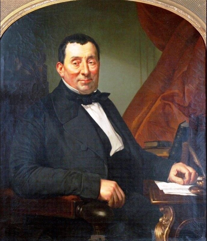
Marker detail: Ramsey Crooks
SHOWN IN SOURCE-SPECIFIED ORDER
| Near Fanny Hoe Creek, 0.1 miles north of U.S. 41. |
| | "The finest vessel afloat" In 1835, two years before the Territory of Michigan becomes a state, the American Fur Company builds a small schooner at Sault Ste. Marie and launches it on Lake Superior. The boat is called “the finest vessel . . . — — Map (db m153599) HM |
| Near Fanny Hoe Creek, 0.1 miles north of U.S. 41. |
| | It is my painful duty to inform you of the loss of the Brig Astor… Her keel is badly broken [and] her rudder broke in two. Captain Benjamin Stannard September 27, 1844 On Friday, September 20, 1844, the John Jacob . . . — — Map (db m153600) HM |
| Near Fanny Hoe Creek, 0.1 miles north of U.S. 41. |
| | Market demand drives the cost of Lake passage. In 1844, cabin passengers aboard the Astor pay $10 to travel from Sault Ste. Marie to Copper Harbor (about $210 today). Conditions are cramped, dirty and made worse by rough seas. ”Too . . . — — Map (db m153778) HM |
| Near Fanny Hoe Creek, 0.1 miles north of U.S. 41. |
| | Near this site in September 1844, the John Jacob Astor was driven upon the rocks by gale-swept seas. Every assistance was rendered by the officers and men of Fort Wilkins. They kept up fires as nigh the Shore as they could… and watched . . . — — Map (db m153810) HM |
Apr. 30, 2024